Fallon Nevada
Churchill County
Land * Real Estate
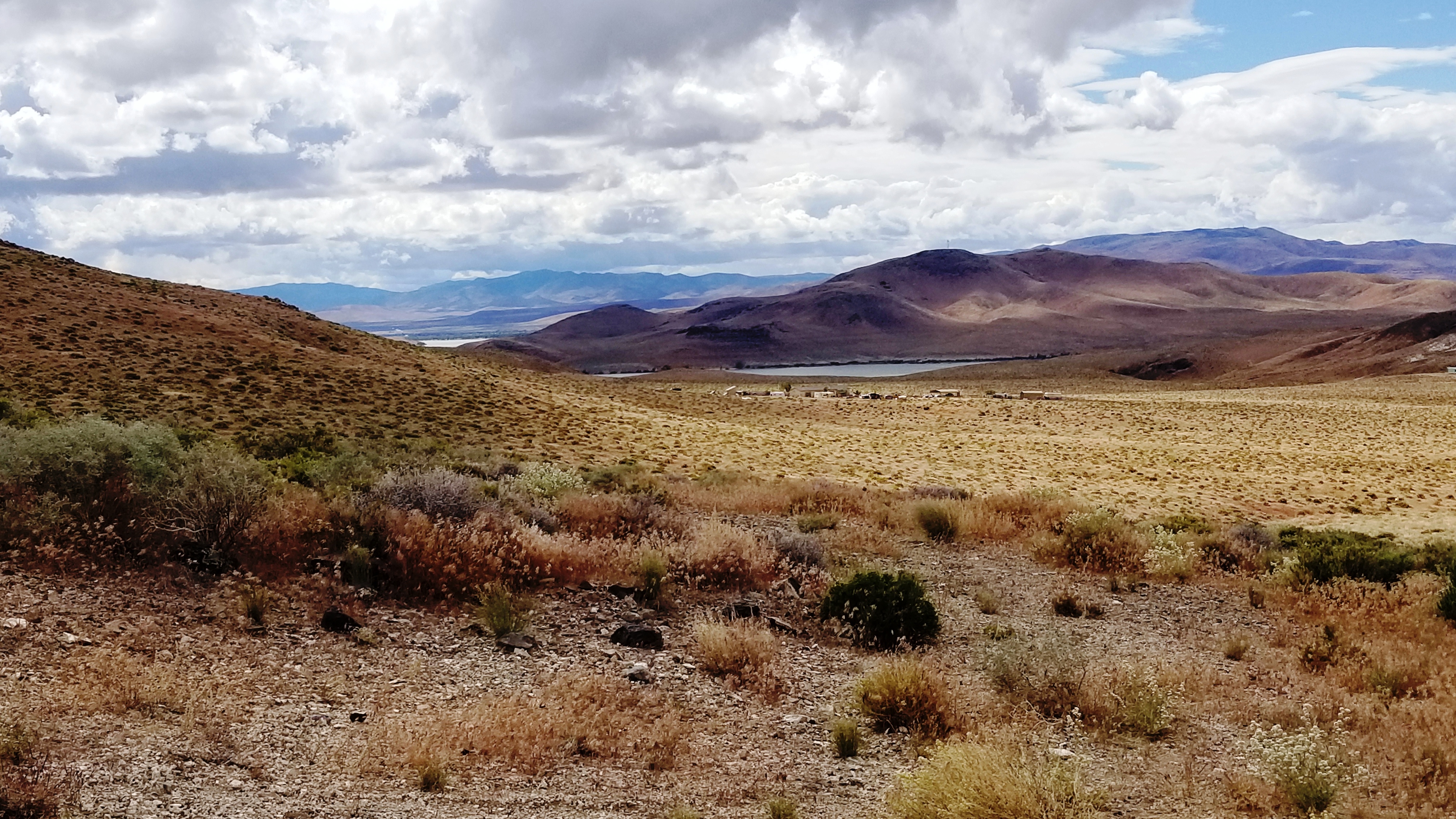
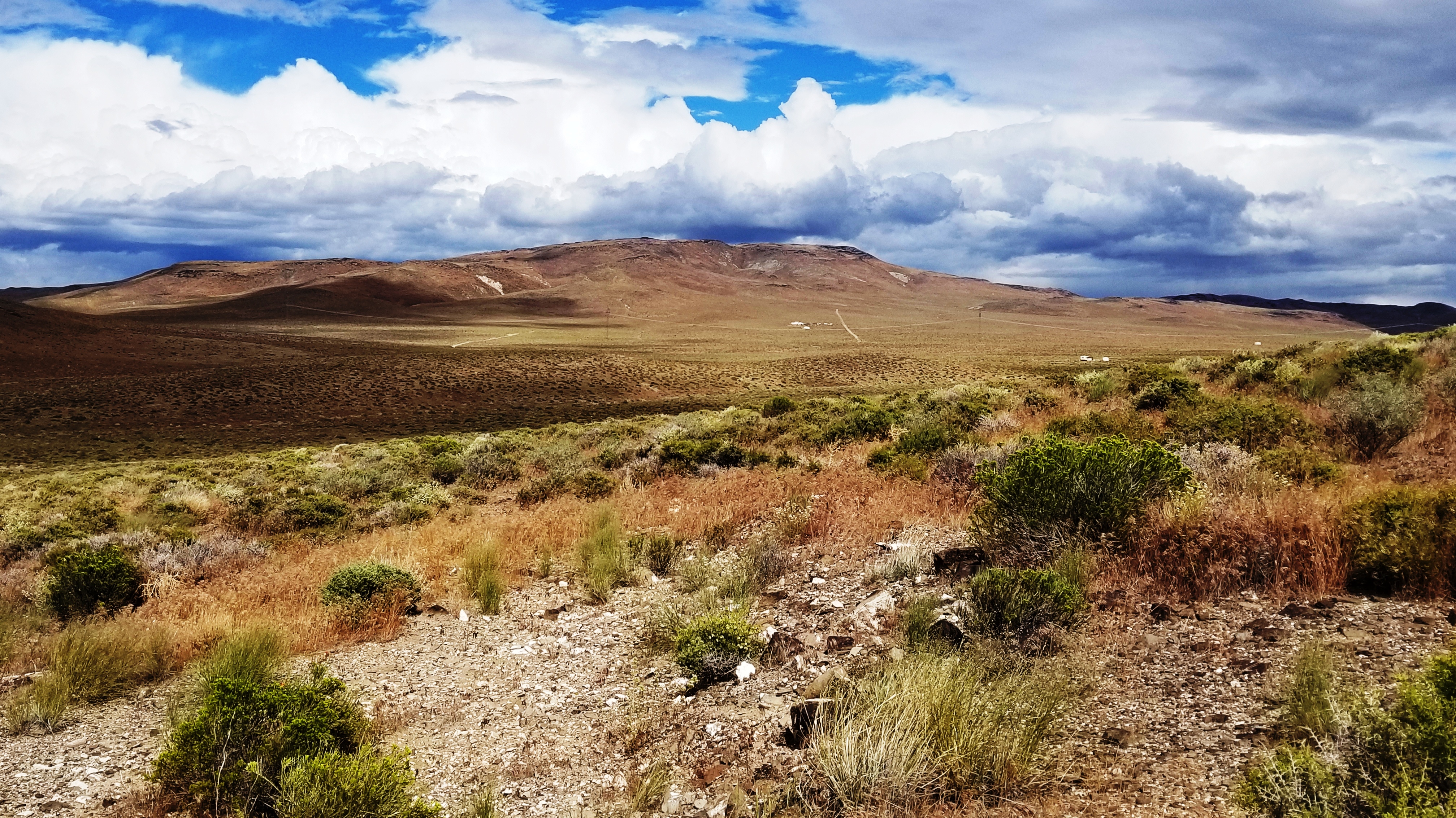
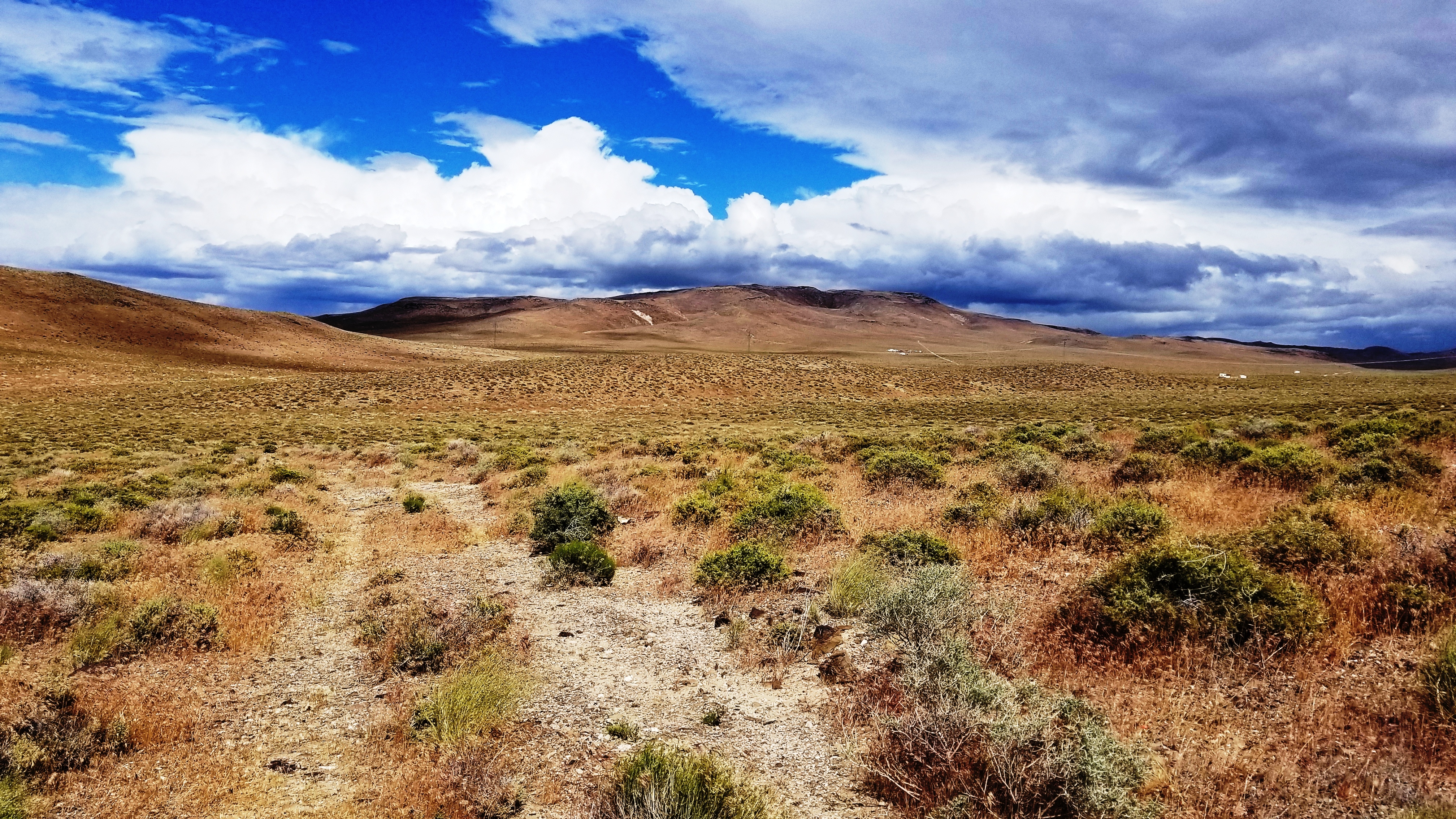
20 acres * Borders BLM 2 sides
Near Lake Lahontan
next to Dead Camel Mountains

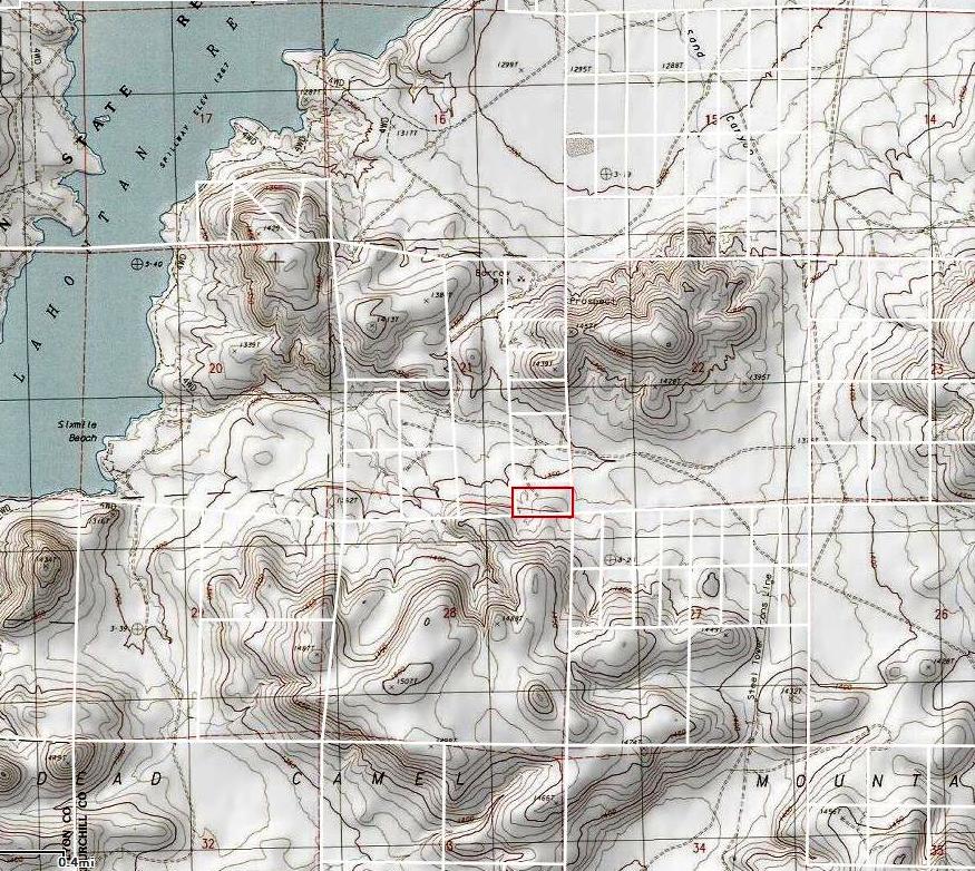
- SIZE: 20.28 +/- acres
- APN#: 006-142-36
- LEGAL DESCRIPTION: Parcel 1 of the Map of Division into large Parcels
for Thomas W. and Josephine Robinson recorded November 7, 1986, under
File No. 223511, Official records, Churchill County, excluding all petroleum,
oil, natural gas and products derived therefrom.
- STATE: Nevada
- COUNTY: Churchill
- GENERAL LOCATION: Just east of Lake Lahontan Reservior, Northside
base of Dead Camel Mountains
- GPS (approx. ): 39.4032 , -119.0622
- GENERAL ELEVATION: 1360-1370 ft
- GENERAL INFORMATION: Borders BLM to the East and South. Base of Dead
Camel mountains (to the south). Unlimited opportunities. Camp, RV, Build....
- TYPE OF TERRAIN: rolling
- ZONING: check with county for intendeded usage
- POWER: No
- PHONE: No
- WATER: no. must install well or holding tank.
- SEWER: No. Only needed when/if you build.
- ROADS: dirt
- PROPERTY TAX: $108 a year
- CLOSING/DOC. FEES: $90.
- TIME LIMIT TO BUILD: none
- ASSOCIATION DUES: none
- TITLE INFORMATION: Free and clear
- Outside Info Links:
- AREA INFO: outside Link
- Owner financing available.
No Qualifying. No Credit Checks.Gps/lats/longs coordinates are provided as a tool to assist the Buyer.
Use the maps to confirm.
BUYER TO VERIFY listings' GPS coordinates
- FINANCING INFO and PURCHASE INFO
conversion chart land area. sq. ft. acres, hectacres, miles, etc
c: 1881.com
questions??? please email
or call us
512-478-9999
Link to Weather Underground . Historical Data &
Forecasts