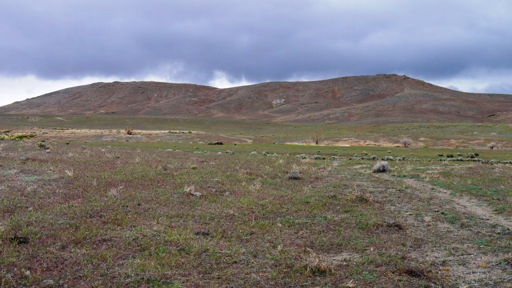
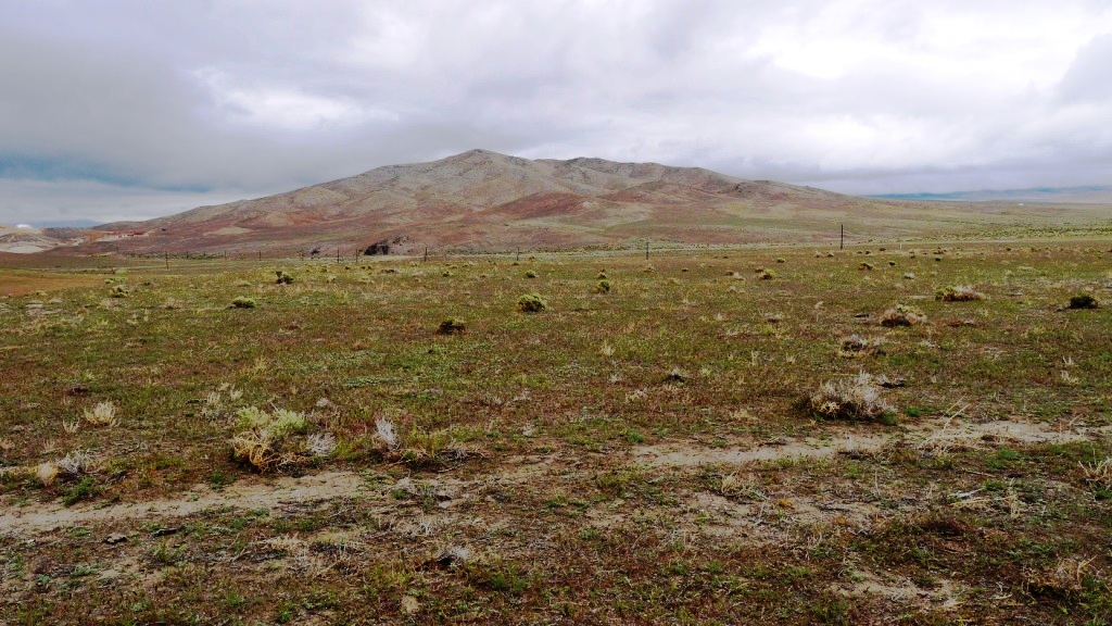
Near state route 400
10 acres
SOLD

- SIZE: 10+/- acres
- APN#: 008-470-15
- LEGAL DESCRIPTION: W2S2NE4SW4, section 17, T32N, R35E
- STATE: Nevada
- COUNTY: Pershing
- GENERAL LOCATION: about 1/2 mile west of State Route 400. about 2.5
miles south of Mill City
- DRIVING DIRECTIONS:
- GPS (approx. ): NW: 40.64475 , -118.07362 ; NE: 40.64471 , -118.07121 ; || SE: 40.64287 , -118.07123 ; SW: 40.64292 , -118.07365
- GENERAL ELEVATION: 4400'
- GENERAL INFORMATION: small seasonal creek on property Camp, RV, build.
no restrictions. Mobile, modulars, site-builds.
- TYPE OF TERRAIN: rolling
- ZONING:
- POWER: No
- PHONE: No
- WATER: no. must install well or holding tank.
- SEWER: No. Only needed when/if you build.
- ROADS: dirt
- PROPERTY TAX: $36 a year
- CLOSING/DOC. FEES: $90.
- TIME LIMIT TO BUILD: none
- ASSOCIATION DUES: none
- PLAT MAP: Request plat map
be sure to state the address or description of the map you want.
- TITLE INFORMATION: Free and clear
- Outside Info Links:
- AREA INFO: Pershing County info
- Owner financing available.
No Qualifying. No Credit Checks.Gps/lats/longs coordinates are provided as a tool to assist the Buyer.
Use the maps to confirm.
BUYER TO VERIFY listings' GPS coordinates
- FINANCING
INFO and PURCHASE
INFO
conversion chart land area. sq. ft. acres, hectacres, miles, etc
questions???
please email
or call us
512-478-9999