Land * Real Estate
121 acres
in the Mountains
off Lucky Boy Pass Road
SOLD

- SIZE: 121.62+/- acres
- APN#: 6-651-20
- LEGAL DESCRIPTION: Lot 21, parcel map 125371 recorded August 30, 2001
, 121.62 acres M/L (AKA: Township 7 north, Range 29 East W2SE4 &
SW4NE4 )
- STATE: Nevada
- COUNTY: Mineral
- GENERAL LOCATION: about 7 miles SW of Hawthorne , off Luck Boy Pass
road
- DRIVING DIRECTIONS:
- GPS (approx. ): NW: 38.44003 , -118.694.69 ; NE: 38.44003 , -118.69002 ; SE: 38.42958 , -118.69002 ; SW: 38.42951 , -118.69469 ; section 25 center point: 38.43658 , -118.69469
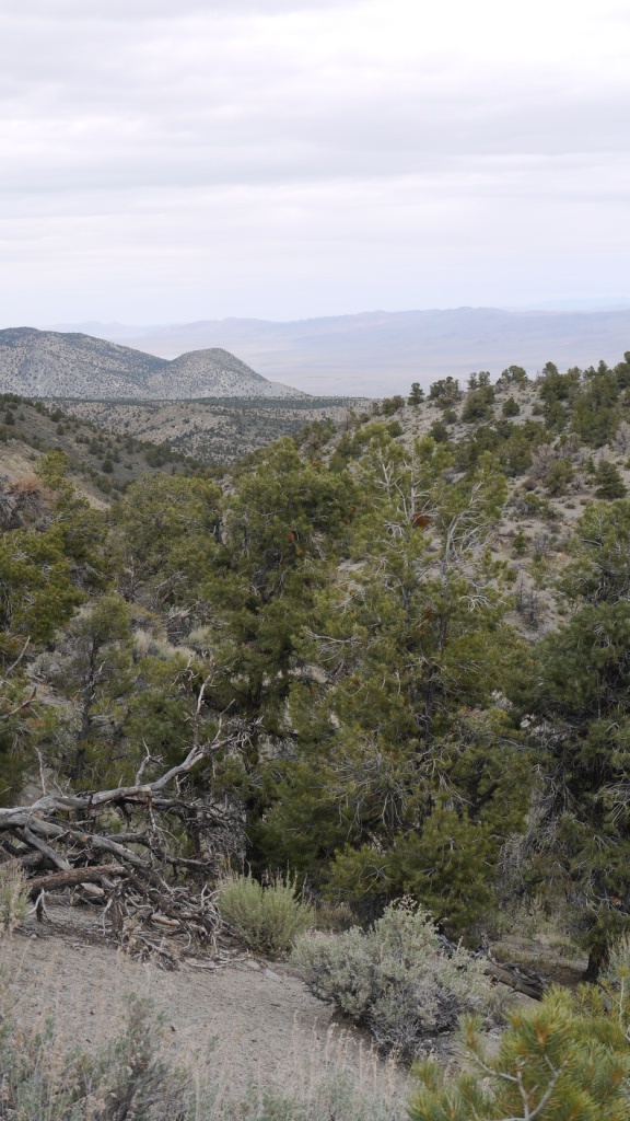
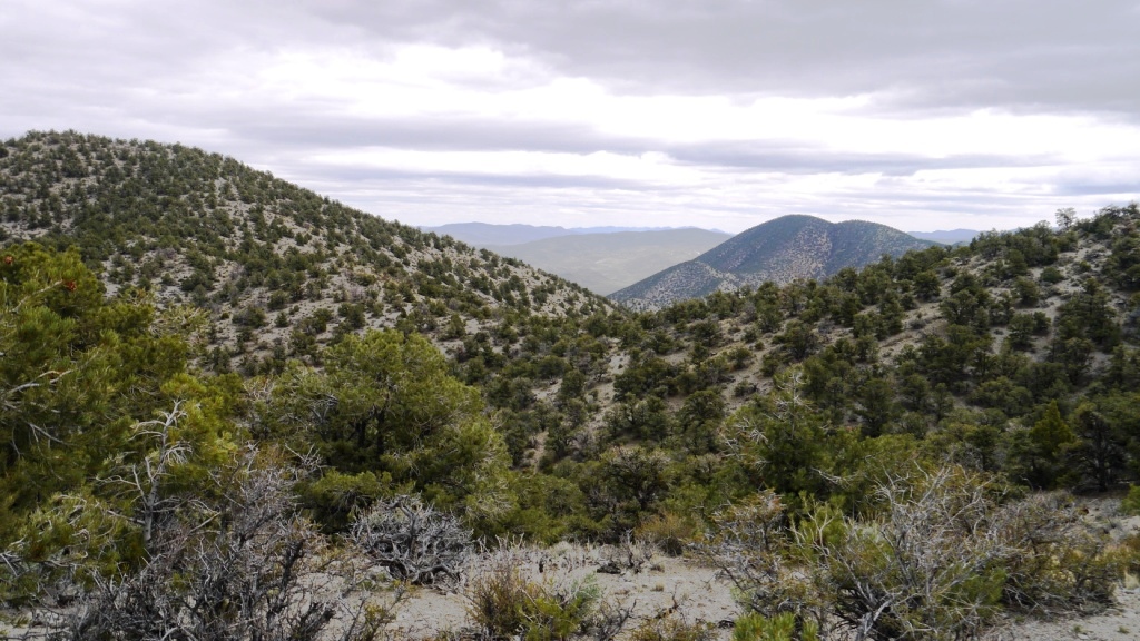
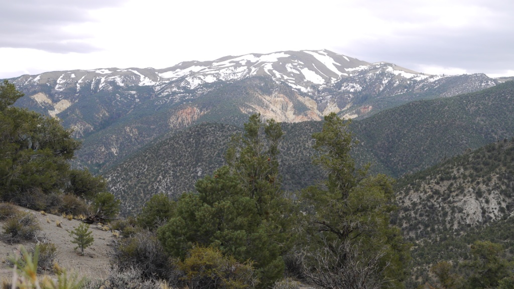
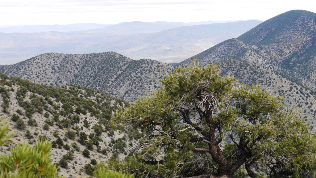
- GENERAL ELEVATION: 6600-7500 ft.
- GENERAL INFORMATION: Borders BLM to the west
- TYPE OF TERRAIN: mountainous
- ZONING: Vacant/open
- POWER: No
- PHONE: No
- WATER: no. would need to iinstall well or holding tank.
- SEWER: No. Only needed when/if you build.
- ROADS: dirt
- PROPERTY TAX: $350 a year
- CLOSING/DOC. FEES: $90.
- TIME LIMIT TO BUILD: none
- ASSOCIATION DUES: none
- TITLE INFORMATION: Free and clear
- Outside Info Links: Toiyabe
national Forest
- AREA INFO: outside Link
- Owner financing available.
No Qualifying. No Credit Checks. - MORE PICTURES
-
Gps/lats/longs coordinates are provided as a tool to assist the Buyer.
Use the maps to confirm.
BUYER TO VERIFY listings' GPS coordinates
- FINANCING
INFO and PURCHASE
INFO
conversion chart land area. sq. ft. acres, hectacres, miles, etc
c: 1881.com
questions??? please email
or call us
512-478-9999
Link to Weather Underground . Historical Data &
Forecasts