7 adjoining parcels
adjoins Forest Service lands
Trees
SOLD

- SIZE: 32.31+/- acres + 9.54 acres = 41.85 +/-acres
- APN#: R296156 (1400), R774022 (1500), R296174 (1600), R 296183 (1700), R296209 (2000), R801369 (2100)
- LEGAL DESCRIPTION: Legal Description and GIS Maps
- -------------------------------------------
- 9.54 acre parcel. APN# R296147 (2200)
- LEGAL DESCRIPTION:SE4SE4SE4 of Sec. 18, T35S, R13E, Willamette Meridian
- --------------------------------------------,
- STATE: Oregon
- COUNTY: Klamath
- GENERAL LOCATION: about 6.5 miles, as the bird flies, N-NE of Beatty
- GIS (approx.): south road : 42.532248 , -121.229089 ; north road:
42.53503 , -121.229540 * * GIS
MAP Email us for google Earth .KMZ file
- GENERAL ELEVATION: 4520 feet - 4560 feet
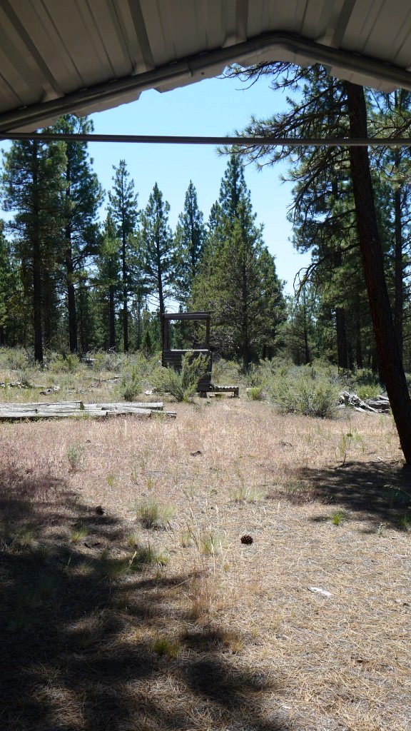
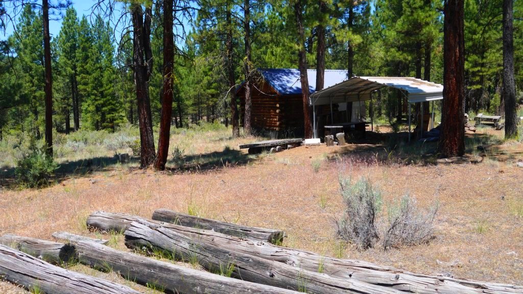
- GENERAL INFORMATION: cabin is approx. 8'-10'wide , 10'-12' long. good
corregated metal roof. Logs in excellent shape.Parcel 1700 borders Forest
servide to the east. Meadows to the west. carport shed in good shape.
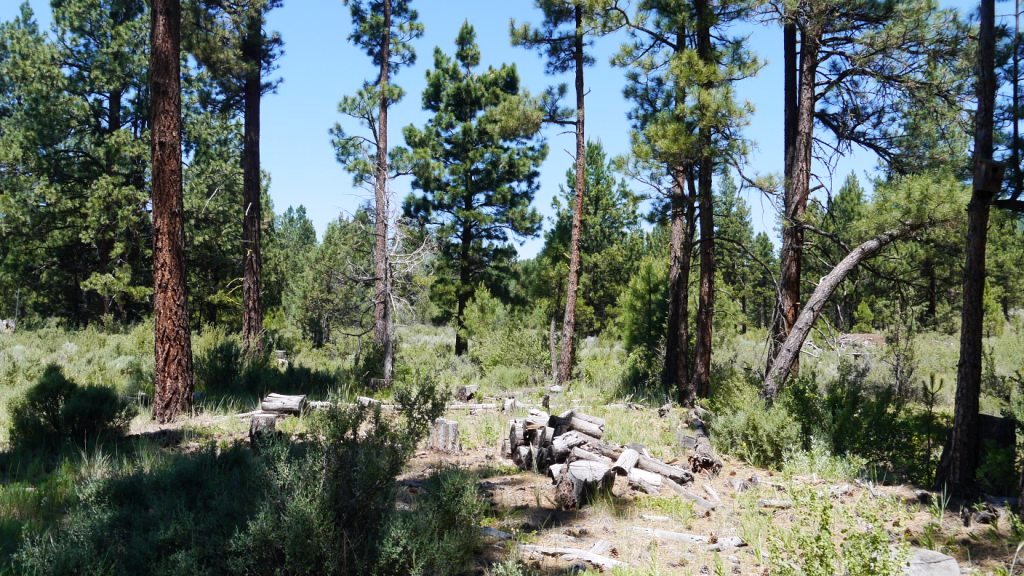
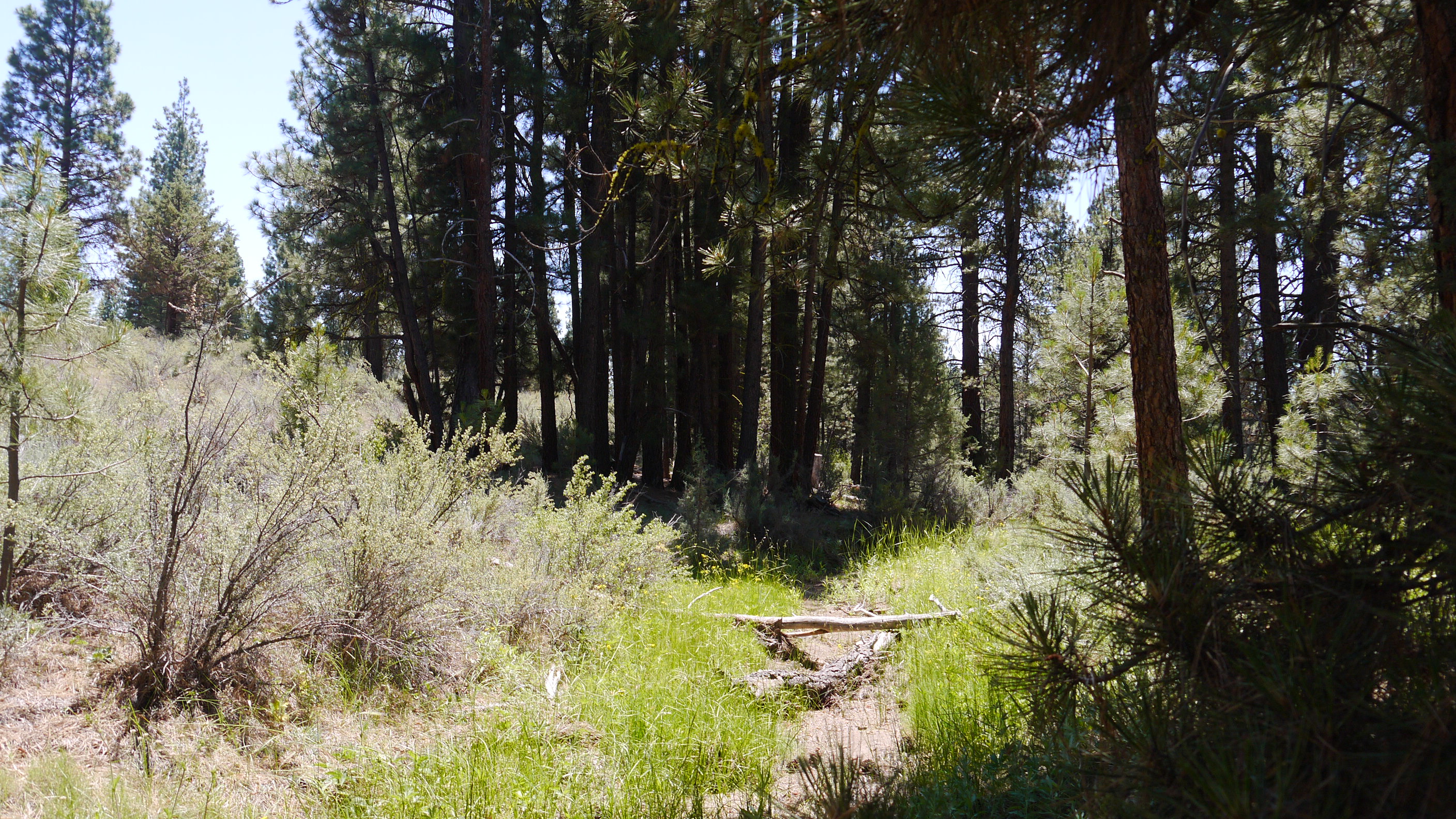
- TYPE OF TERRAIN: mostly level , slightly rolling
- ZONING:
- POWER: no
- PHONE: no
- WATER: no. must install well or holding tank.
- SEWER: No. Only needed when/if you build.
- ROADS: Forest Service dirt road
- PROPERTY TAX: $ a year
- CLOSING/DOC. FEES: $90.
- TIME LIMIT TO BUILD: none
- ASSOCIATION DUES: none
- MORE
PICTURES ; MORE
PICTURES p.2 ; MORE
PICTURES p.3
- TITLE INFORMATION: Free and clear
- AREA INFO: Klamath County Info outside Link
- FINANCING
INFO and PURCHASE
INFO
conversion chart land area. sq. ft. acres, hectacres, miles, etc
questions???
please email
or call us
512-478-9999
