Eureka county Nevada
Land * Real Estate
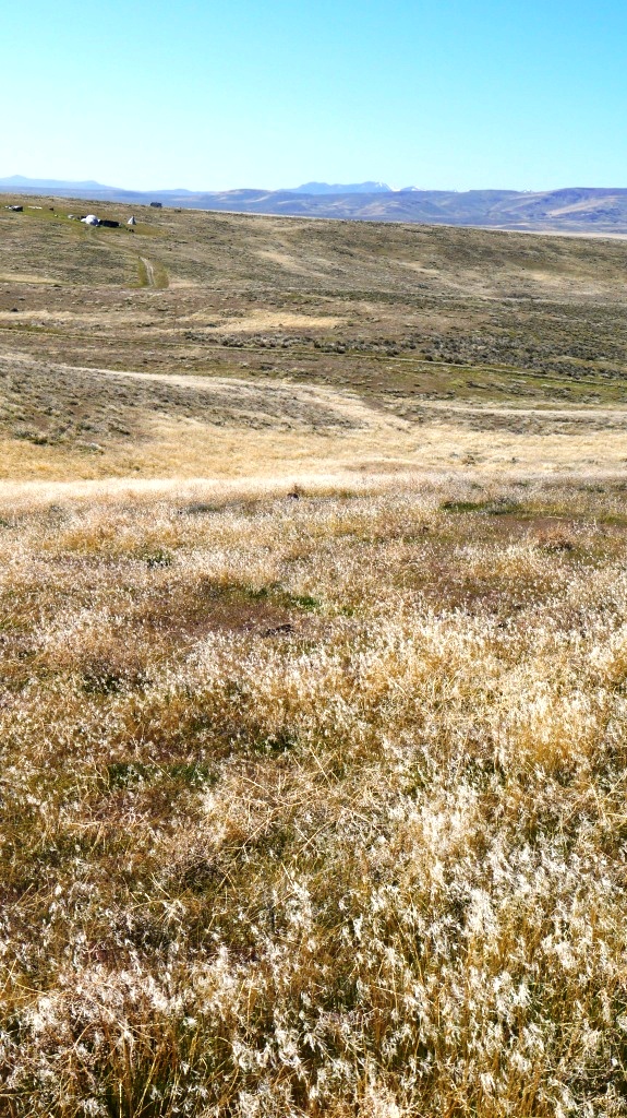
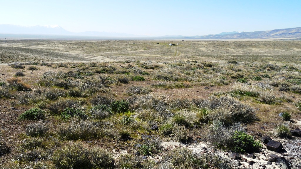
Rolling Hills
  Gullys * Views
Seclusion
SOLD

- SIZE: 60+/- acres
- APN#: 005-040-011
- LEGAL DESCRIPTION: T31N, R48E, Sec. 21, NW4SE4; W2NE4SE4
- STATE: Nevada
- COUNTY: Eureka
- GENERAL LOCATION: about 10 miles N. of town of Crescent Valley
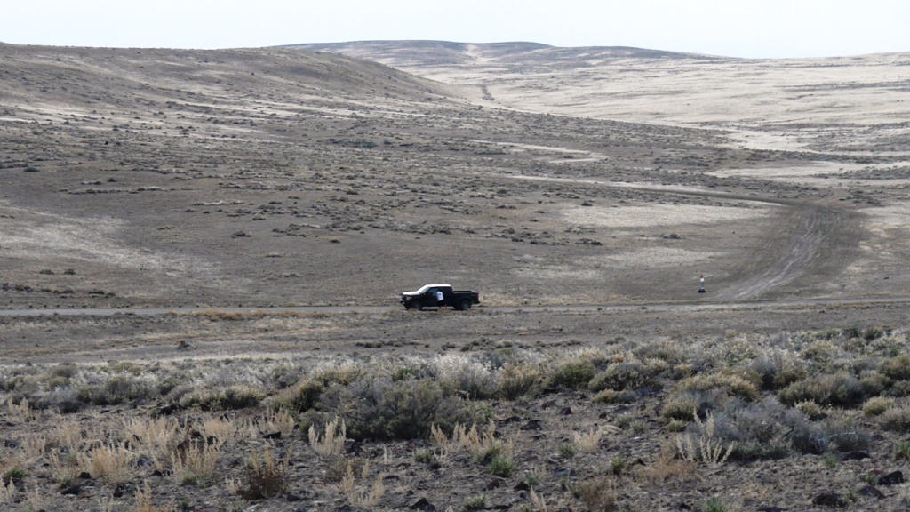
- DRIVING DIRECTIONS: Hiway 306 North out of Crescent Vallye approx. 7 miles to Transfer station Road. Turn left (west) on Transfer station Road approx. 3 miles
- GENERAL ELEVATION: 5150-5225 ft.
- GENERAL INFORMATION: Rolling Hills. Gullys. Views. No restrictions. Several "igloo" type earth structures in the area.
- GPS (approx) : NW: 40.54537 , -116.56809 ; SW: 40.54175 , -116.56810
; NE: 40.54538 , -116.56098 ; SE: 40.54176 , -116.56099
- TYPE OF TERRAIN: Rolling
- ZONING: open
- POWER: No
- PHONE: No
- WATER: no. must install well or holding tank.
- SEWER: No. Only needed when/if you build.
- ROADS: gravelled-dirt
- PROPERTY TAX: $40 a year
- CLOSING/DOC. FEES: $90.
- TIME LIMIT TO BUILD: none
- ASSOCIATION DUES: none
- MORE PICS
- PLAT MAP: Request plat map
. copy and paste this webpage link (URL) into
the email
- TITLE INFORMATION: Free and clear
- Outside Info Links:
- AREA INFO: Eureka County
- Owner financing available.
No Qualifying. No Credit Checks.Gps/lats/longs coordinates are provided as a tool to assist the Buyer.
Use the maps to confirm.
BUYER TO VERIFY listings' GPS coordinates
- FINANCING
INFO and PURCHASE
INFO

conversion chart land area. sq. ft. acres, hectacres, miles, etc.
sppp
c: 1881.com
questions??? please email
or call us
512-478-9999
Link to Weather Underground . Historical Data &
Forecasts