Box Elder county
Utah land * close to Nevada state line
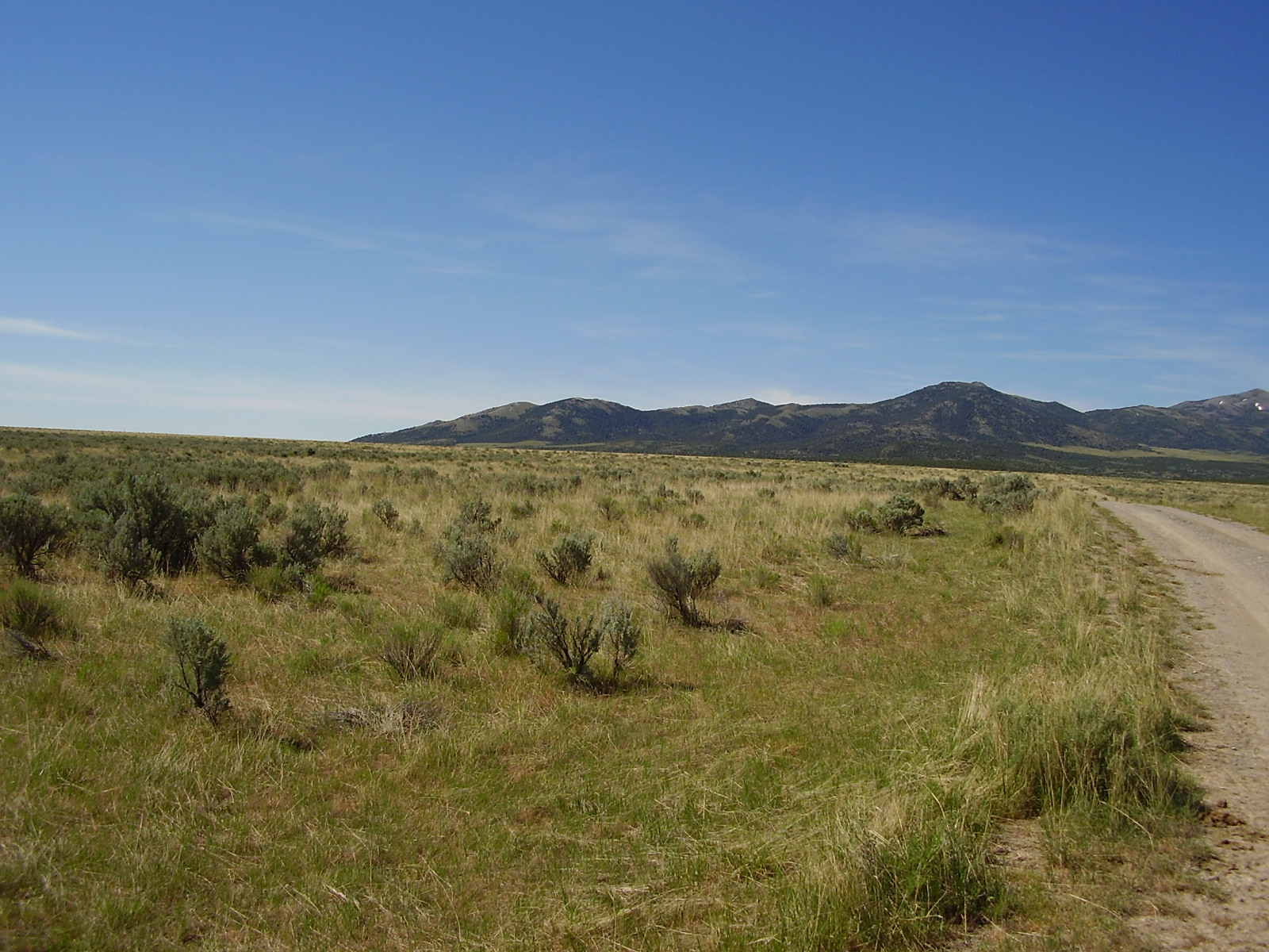
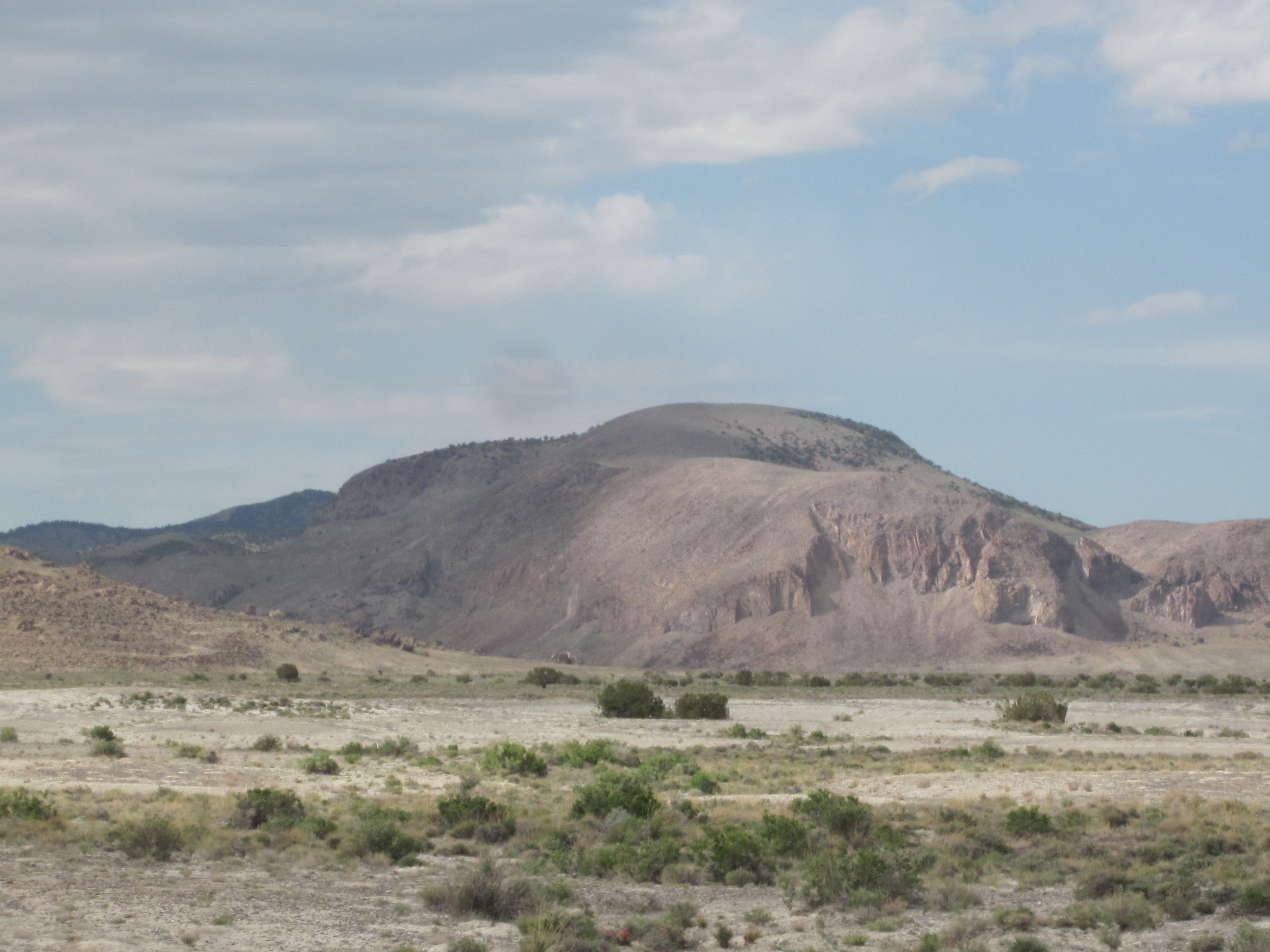
      Remote Utah land
   10 acre parcel
SOLD

- SIZE: 10.1+/- acres
- APN#: R ; parcel # 01-107-0020
- LEGAL DESCRIPTION: T7N, R18W, sec. 7, N2S2NE4SE4
- STATE: Utah
- COUNTY: Box Elder
- GENERAL LOCATION: Tucoma Road. Near pilot mountain Road. about 2.5
miles W-SW of Lucin. about 4 miles south of Hiway 30/233. about 4.9
miles west of Utah/Nevada state line. About 14 miles NE of Montello
Nevada.
- DRIVING DIRECTIONS:
- GPS (approx. ): 41.3381 , -113.9485
- GENERAL ELEVATION: 4580 ft.
- GENERAL INFORMATION: Remote Utah land. neighbors few and far between.
- TYPE OF TERRAIN: level- rolling, desert
- ZONING: ag
- POWER: no
- PHONE: no
- WATER: no. must install well or holding tank.
- SEWER: No. Only needed when/if you build.
- ROADS: dirt
- PROPERTY TAX: $10 a year
- CLOSING/DOC. FEES: $90.
- TIME LIMIT TO BUILD: none
- ASSOCIATION DUES: none
- PLAT MAP: Request plat map
be sure to state the address or description of the map you want.
- TITLE INFORMATION: Free and clear
- Outside Info Links:
- AREA INFO: outside Link
- Owner financing available.
No Qualifying. No Credit Checks.Gps/lats/longs coordinates are provided as a tool to assist the Buyer.
Use the maps to confirm.
BUYER TO VERIFY listings' GPS coordinates
- FINANCING
INFO and PURCHASE
INFO
conversion chart land area. sq. ft. acres, hectacres, miles, etc
questions???
please email
or call us
512-478-9999