         40 Acres Buena Vista Valley
SOLD
- SIZE: 40 +/- acres
- APN#: 015-650-08
- LEGAL DESCRIPTION: Lot 8 out of Sec. 19, T 27N, R 35E MDB&M Recorded
in Document #355831.
- STATE: Nevada
- COUNTY: Pershing
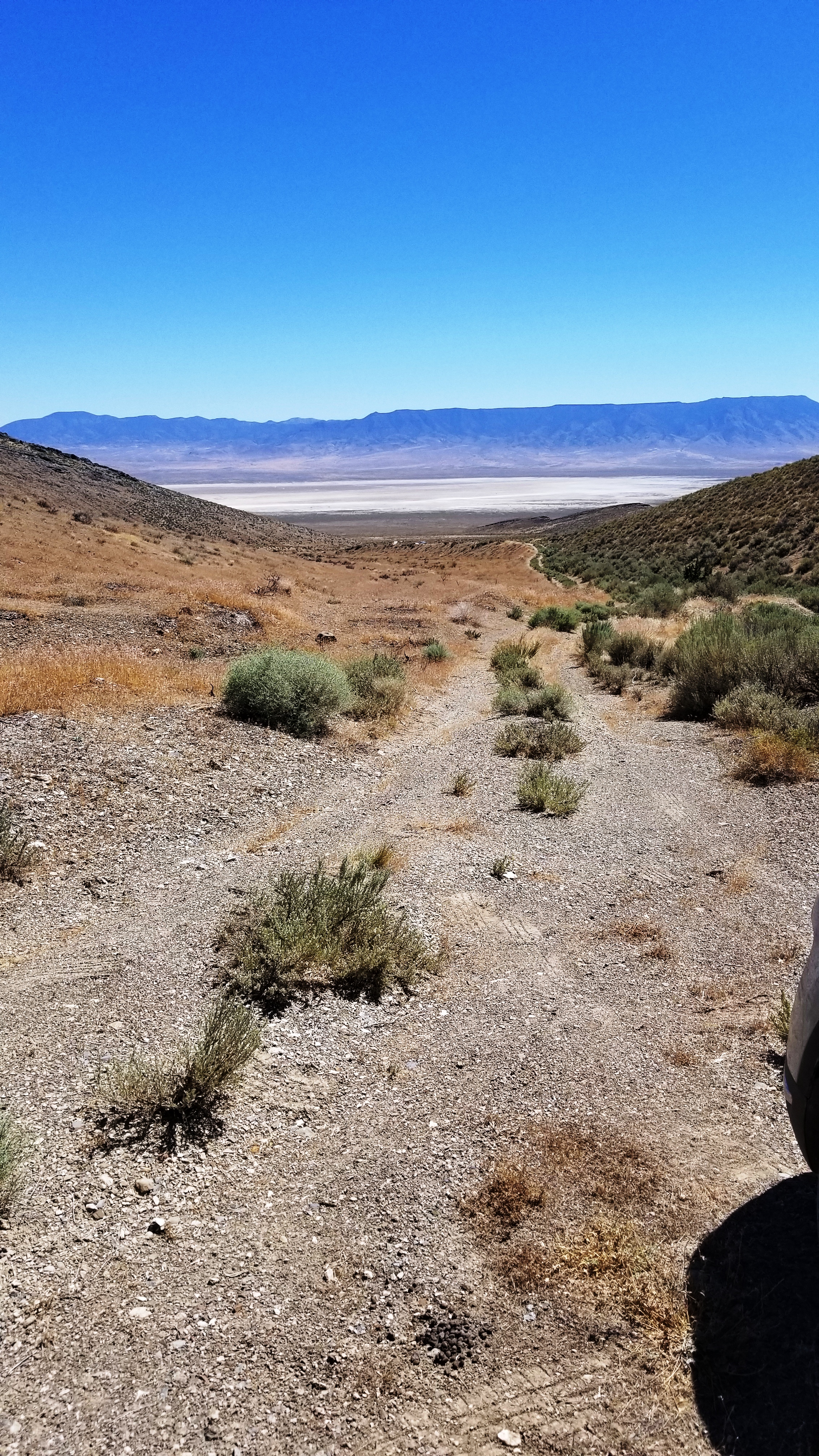
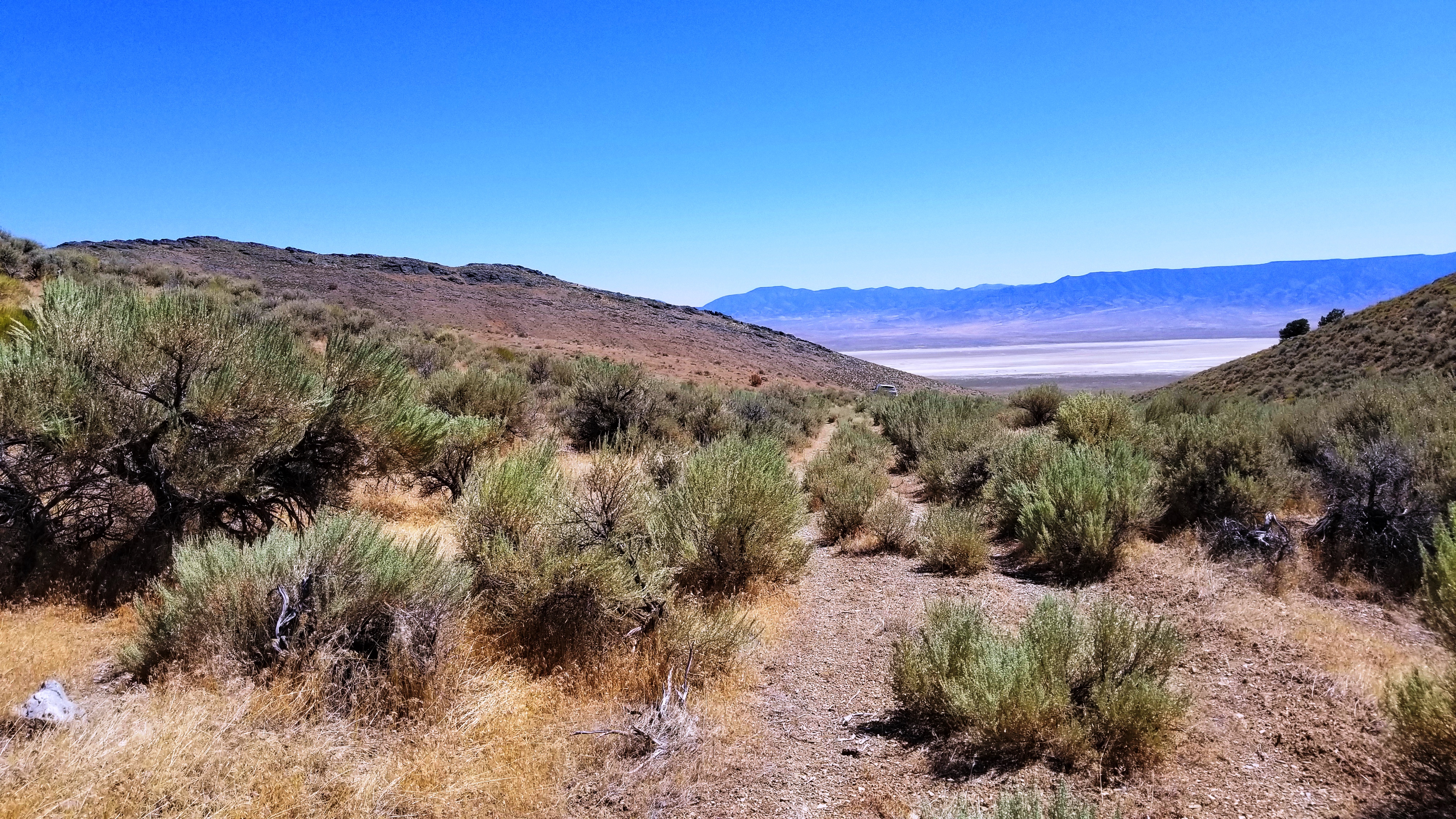
- GENERAL LOCATION: : SW OF OREANA NEVADA , South of Interstate 80. Just North of BUENA VISTA RD and EAST OF COAL CANYON ROAD.
- GPS coords (approx.): NW: 40.19814 , -118.08556 ; SW: 40.19635 , -118.08366 : SE: 40.19966 , -118.07915 : NE: 40.20292 , -118.07915
-
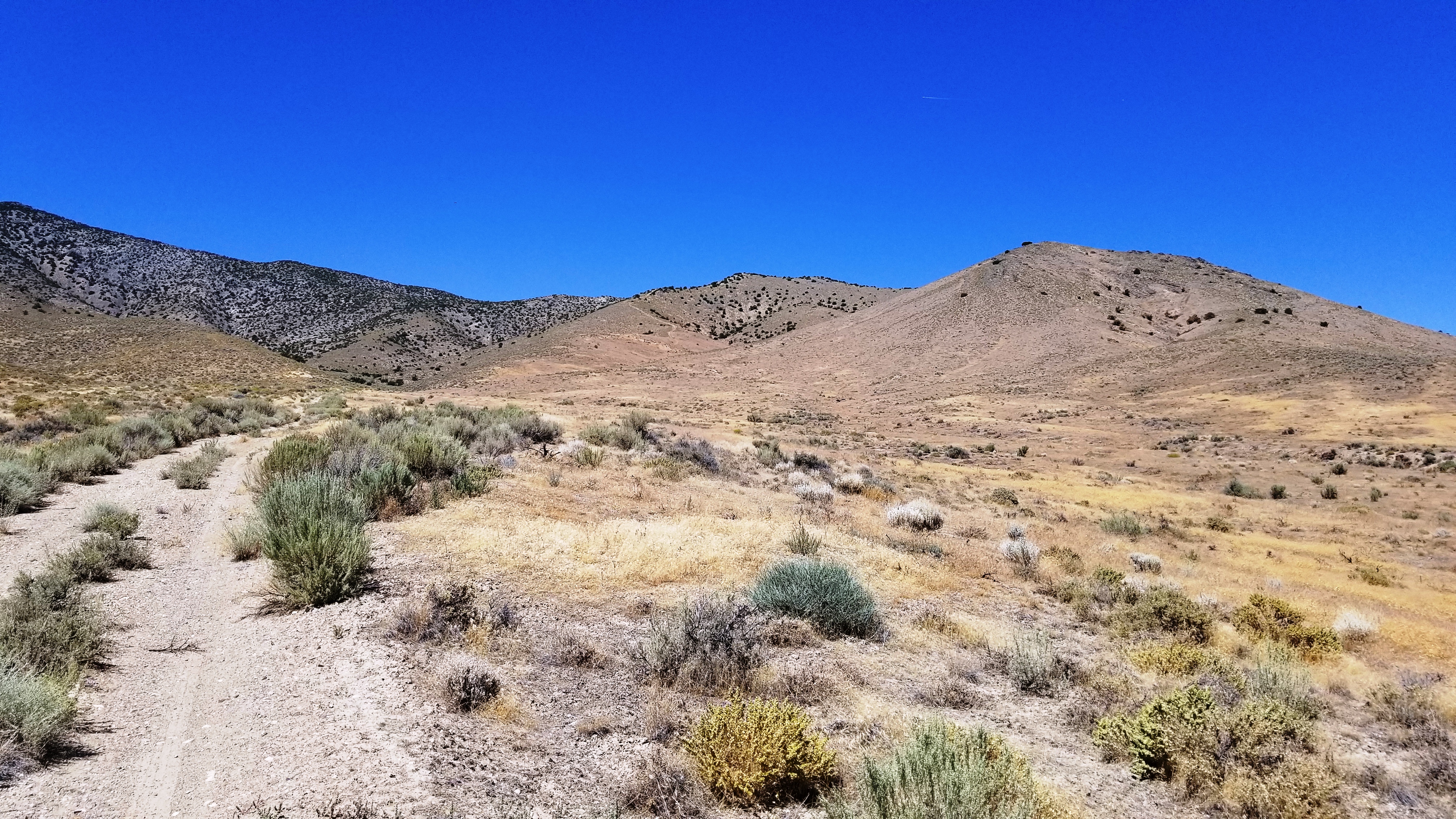
DRIVING DIRECTIONS: Access via Coal Canyon Rd. or Buena Vista Rd. goes up the Mountain. Borders BLM lands to the East and North..
-
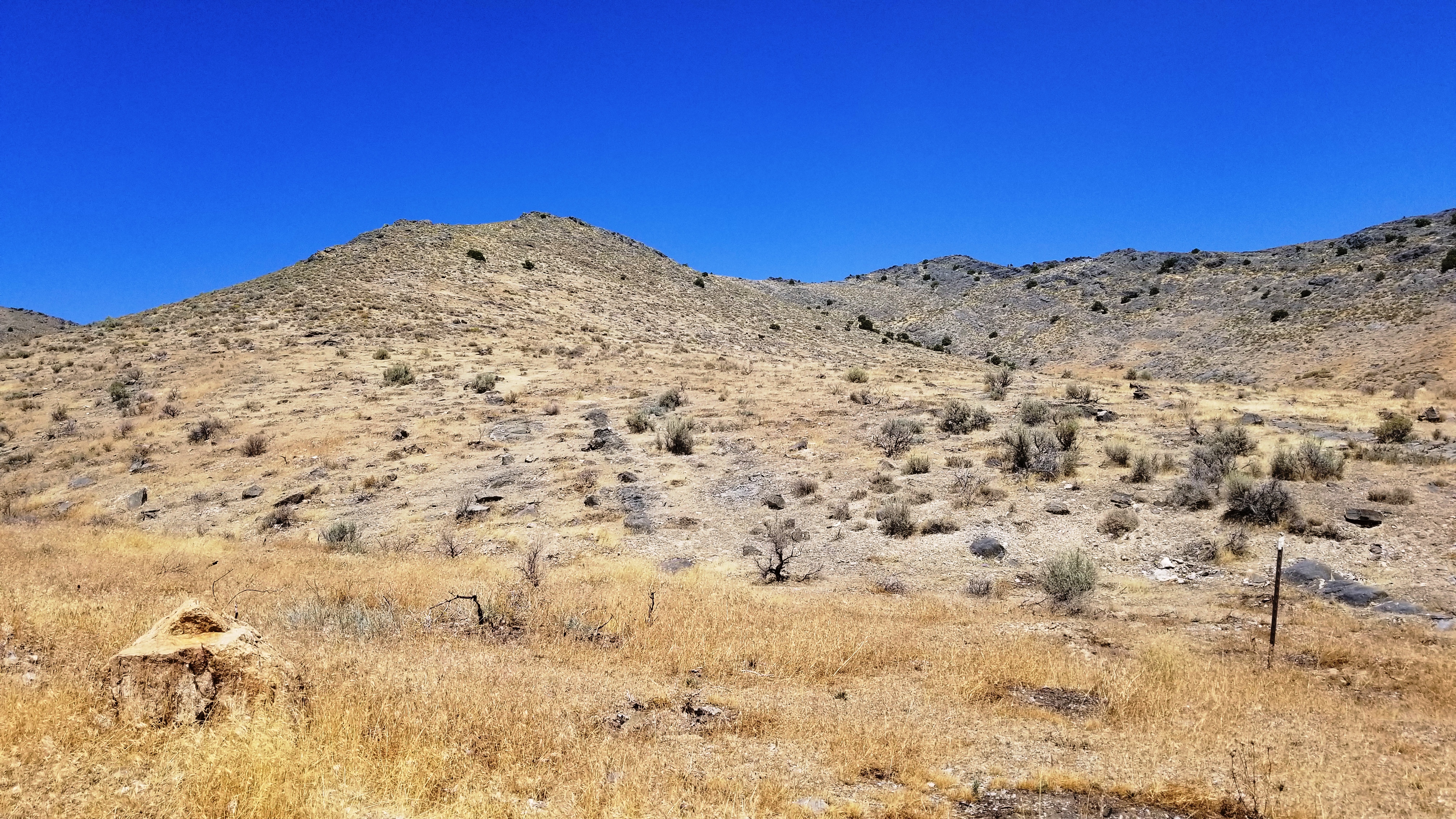
GENERAL ELEVATION: 4900 - 5050 ft.
-
GENERAL INFORMATION: 800' feet of county maintained road. No restrictions. Mobiles, modulars, site builds are all allowed. Animals allowed. Peaceful, quiet area.
- TYPE OF TERRAIN: rolling hills-level
- ZONING: residential/open
- POWER: no.
- PHONE: no. some cells work
- WATER: no. must install well or holding tank.
- SEWER: No. Only needed when/if you build.
- ROADS: county maintained dirt
- PROPERTY TAX: $55 a year
- CLOSING/DOC. FEES: $90.
- TIME LIMIT TO BUILD: none
- ASSOCIATION DUES: none
- PLAT MAP: Request Plat map
. Be sure to list what parcel you are interested in or just copy the
link to this webpage and paste it in the email
- TITLE INFORMATION: Free and clear
- Outside Info Links:
FINANCING
INFO and PURCHASE INFO
conversion chart land area. sq. ft. acres, hectacres, miles, etc

questions???
please email
or call us
512-478-9999
