BURNS GULCH
Patented Mining Claims
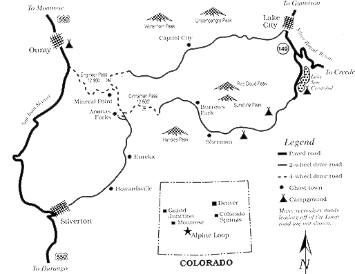
Burns Gulch is located North of Silverton near Picayune Gulch. about 2 miles south of Animas Forks.
| Parcel ID-MS# maps | Acres +/- * |
Name of Parcel info |
Notes | $$$$ |
| 414 | 7.6 | Sterling | Borders Animas River | 40,000 SOLD |
| 419-A | 7.30 | Byron | mine and mine tailings, borders Animas River | 49,000 |
| 70 | 9.97 | Silver Wing | Old mine..land only no minerals | 26,000 |
From the December 24, 1964 edition of the Silverton Standard & the Miner:
A LONG WALK.
It’s a long walk from the Silver Wing to Howardsville, even if the night is “clear and kinda pretty.”
M.H. MacQuarrie and Paul Smith of Silverton made the walk last Saturday evening when a slide just below the Silver Wing cut off access by road and forced the pair to take to walking to get home.
No radio communication is available at the mine up the Animas Canyon, and the two had to walk to Howardsville, about eight miles away, in order to phone Silverton to get help.
![]()
PREVIOUSLY SOLD
| 1753 | 4.30 | Emma | borders Merrimac | 29.900 Sold |