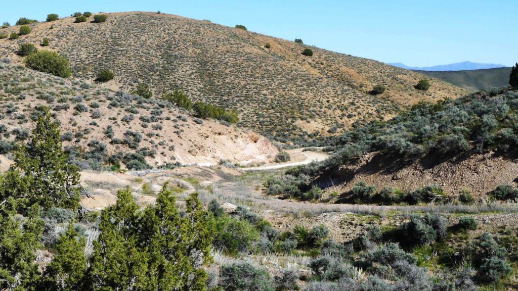
Coal Mine Canyon Road
in the Mountains * paved road access

- SIZE: 5.78+/- acres
- APN#: 015-580-16
- LEGAL DESCRIPTION: Lot 16 of the Map of Division into
Large Parcels, File# 355774, situate in sec. 21, T27N, R33E, MDB&M
- STATE: Nevada
- COUNTY: Pershing
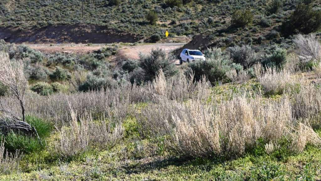
- GENERAL LOCATION: 7 miles east of IH80 on coal mine Road
- DRIVING DIRECTIONS:
- GPS (approx. ): NW: 40.20293 , -118.27258 : NE: 40.20296 , -118.26937 ; SE: 40.20129 , -118.26935 ; S(road): 40.20213 , -118.27083 ; SSE(road): 40.2017 , -118.27002
- GENERAL ELEVATION: 5110 ft - 5130 ft
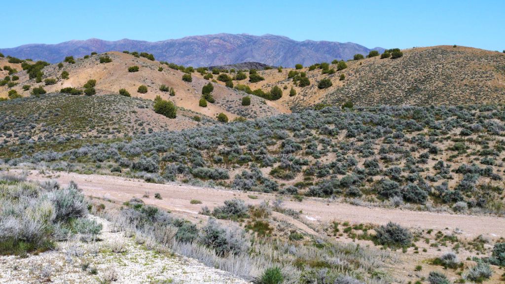
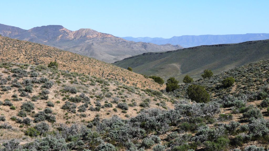
- GENERAL INFORMATION: Triangle shaped parcel borders BLM land to North,
West and East. Border CR 396 / coal mine canyon road to south. No restrictions.
Camp, RV. mobiles modulars ok..
- TYPE OF TERRAIN: rolling
- POWER: No
- PHONE: No
- WATER: no. must install well or holding tank.
- SEWER: No. Only needed when/if you build.
- ROADS: Paved
- PROPERTY TAX: $a year
- CLOSING/DOC. FEES: $90.
- TIME LIMIT TO BUILD: none
- ASSOCIATION DUES: none
- PLAT MAP: Request plat map
be sure to state the address or description of the map you want.
- TITLE INFORMATION: Free and clear
- Outside Info Links:
- AREA INFO: Pershing County info
- Owner financing available.
No Qualifying. No Credit Checks.Gps/lats/longs coordinates are provided as a tool to assist the Buyer.
Use the maps to confirm.
BUYER TO VERIFY listings' GPS coordinates
- FINANCING
INFO and PURCHASE
INFO
conversion chart land area. sq. ft. acres, hectacres, miles, etc
questions???
please email
or call us
512-478-9999