Elko * Montello * Wells * Oasis * Wendover
land * real estate
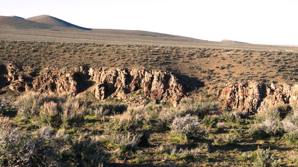
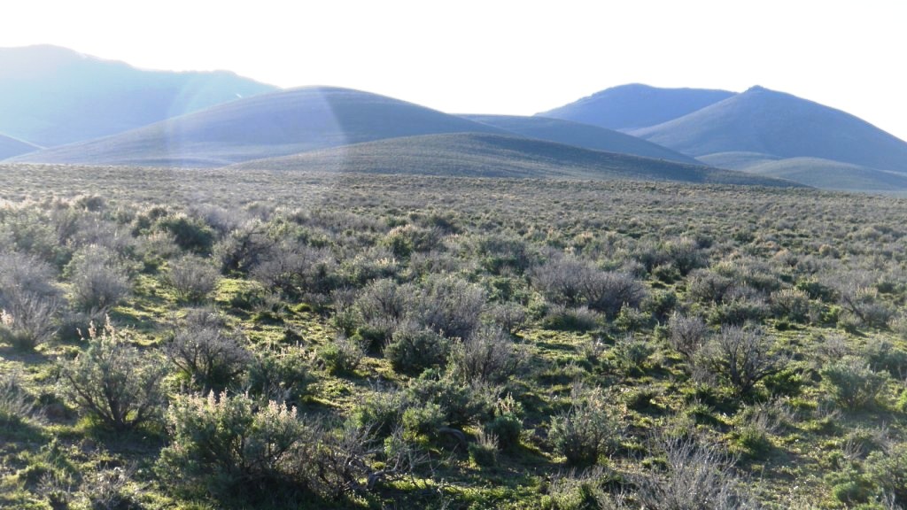
Coal Mine Canyon

- SIZE: 20+/- acres
- APN#: 006-34C-010
- LEGAL DESCRIPTION: T37N, R56E, section 11, S2NE4SW4
- STATE: Nevada
- COUNTY: Elko
- GENERAL LOCATION: about 12 Miles North of IH 80. west of Coal Mine Canyon Road
- GPS (approx.): Center: 41.1076 , -115.6344 ; NW: 41.1085 , -115.6368
; NE: 41.1085 , -115.632 ; SE: 41.1066 , -115.6319 ; SW 41.1066 , -115.6368
- GENERAL ELEVATION: 5960 ft - 6010 feet.
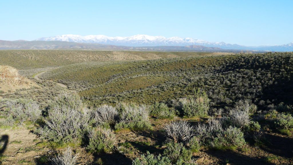
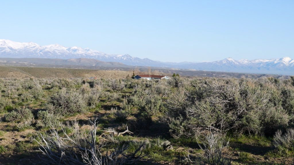
- GENERAL INFORMATION: Entrance to Coal Mine Canyon. rolling topography.
No restrictions. Mobiles, Modulars allowed.
- TYPE OF TERRAIN: rolling
- ZONING: open
- POWER: No
- PHONE: No
- WATER: no. you would need to install well or holding tank.
- SEWER: No. Only needed when/if you build.
- ROADS: dirt
- PROPERTY TAX: $36 a year
- CLOSING/DOC. FEES: $90.
- TIME LIMIT TO BUILD: none
- ASSOCIATION DUES: none
- TITLE INFORMATION: Free and clear
- Area Info : Elko County Info Link
- Owner financing available.
No Qualifying. No Credit Checks.Gps/lats/longs coordinates are provided as a tool to assist the Buyer.
Use the maps to confirm.
BUYER TO VERIFY listings' GPS coordinates
- FINANCING
INFO and PURCHASE
INFO
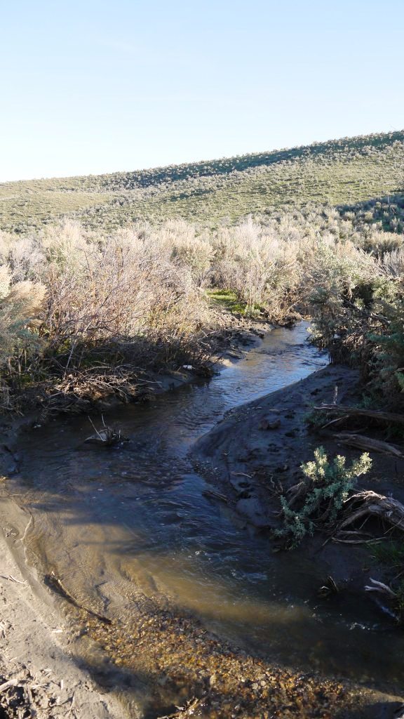 Creek in Coal mine
Canyon, Just below the property
Creek in Coal mine
Canyon, Just below the property
price: $`15,900
conversion chart land area. sq. ft. acres, hectacres, miles, etc.
©1881.com Investments
questions???
please email
or call us
512-478-9999
Forecasts and Historical Weather Data
