Klamath County Oregon
land for sale * Bly mountain
Borders U.S. Lands
on Dead end road
SOLD

- SIZE: 2.05+/- acres
- APN#: 395281
- MapTaxLot#: 3711-026B0-05200-000
- LEGAL DESCRIPTION: Klamath Forest Estates Hwy 66, Plat 4, Block 99,
Lot 10
- STATE: Oregon
- COUNTY: Klamath
- GENERAL LOCATION: South Side of Guar Lane about 9.6 miles North of Bonanza
- GPS (approx.): 42.3338 , -121.3831
- GENERAL ELEVATION: 5140'
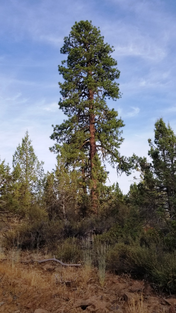
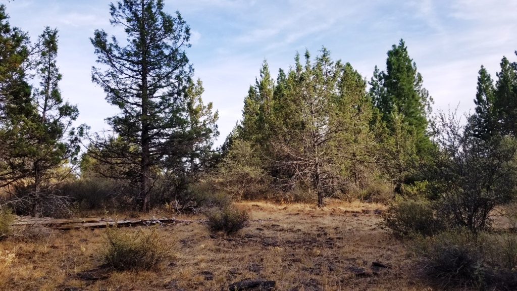
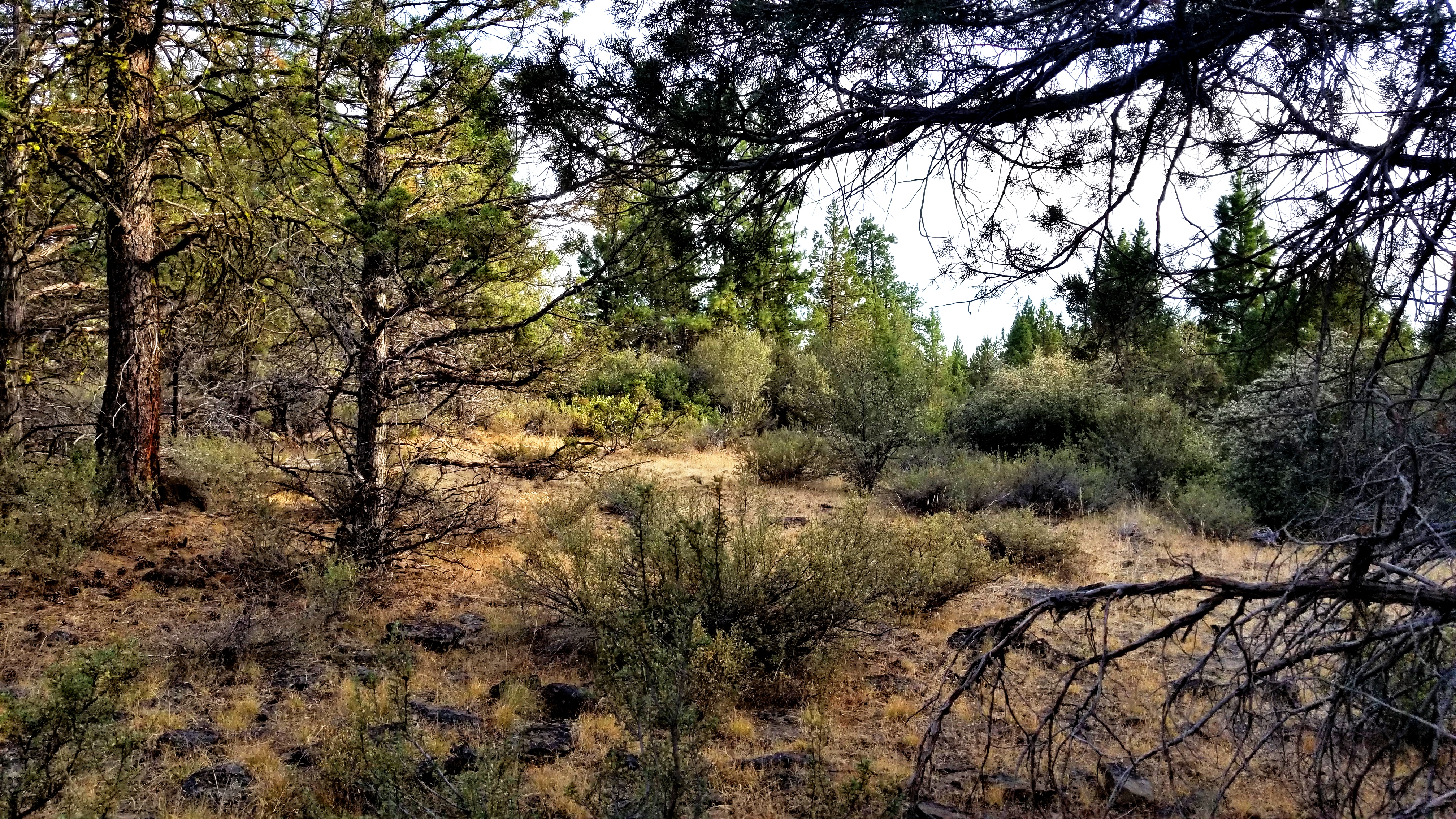
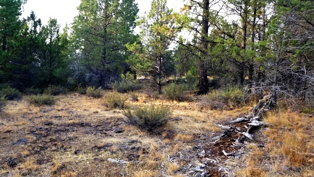
- GENERAL INFORMATION: Borders US lands on the south side. Gently sloping
to SW. Some trees. Lava type rocks on property. Property is buildable.
Camp. RV.
- TYPE OF TERRAIN: level-rolling
- ZONING: Residential. check with Klamath County for your intended
usage
- POWER: No
- PHONE: No
- WATER: no. must install well or holding tank.
- SEWER: No. must install when/if you build.
- ROADS: dirt
- PROPERTY TAX: $55 a year
- CLOSING/DOC. FEES: $90.
- TIME LIMIT TO BUILD: none
- ASSOCIATION DUES: none
- TITLE INFORMATION: Free and clear
- AREA INFO: Klamath County Info outside Link
- FINANCING INFO and PURCHASE INFO
- Owner financing available.
No Qualifying. No Credit Checks.
Gps/lats/longs coordinates are provided as a tool to assist the Buyer.
Use the maps to confirm.
BUYER TO VERIFY listings' GPS coordinates
conversion chart land area. sq. ft. acres, hectacres, miles, etc
questions???
please email
or call us
512-478-9999
