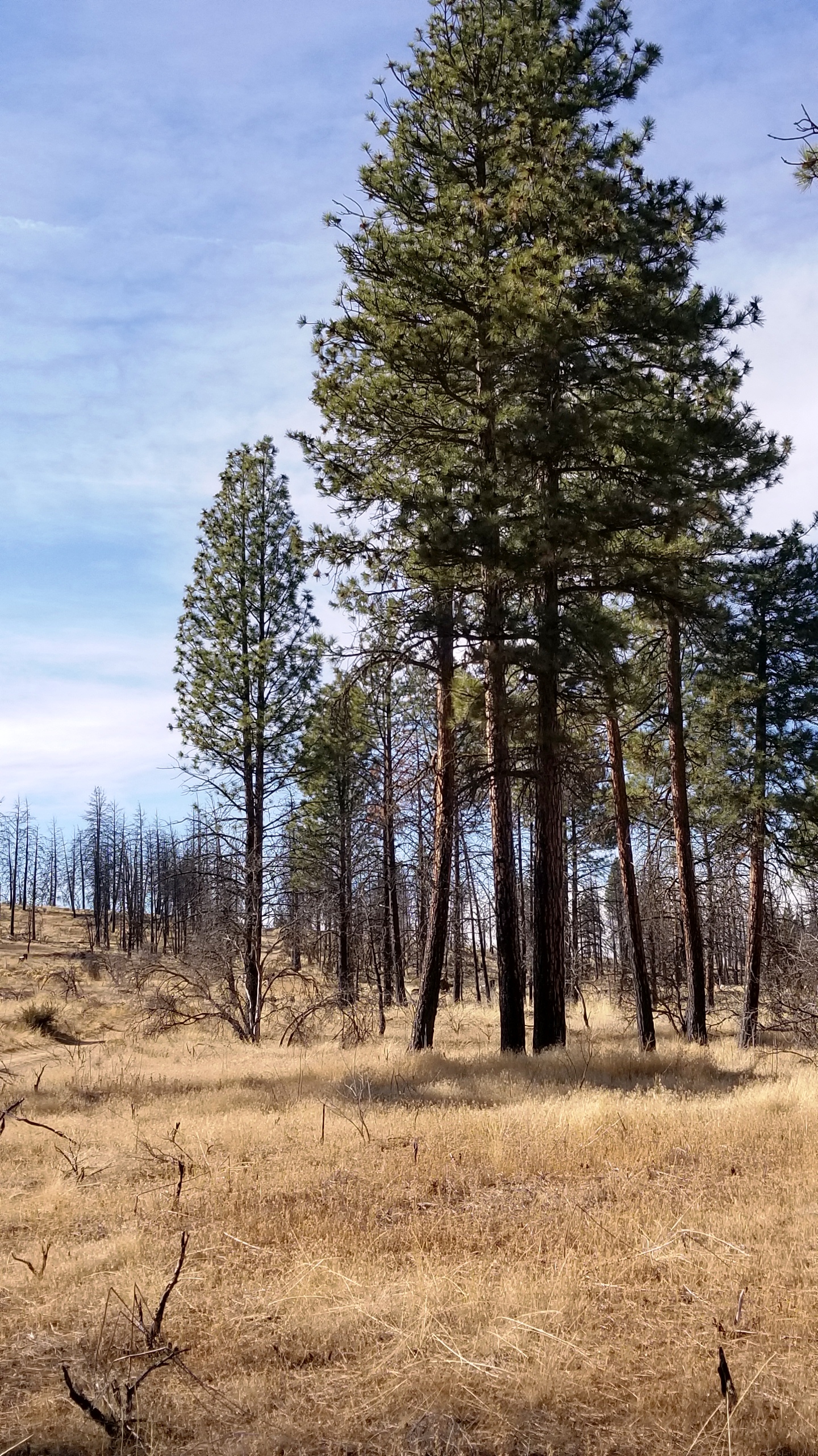
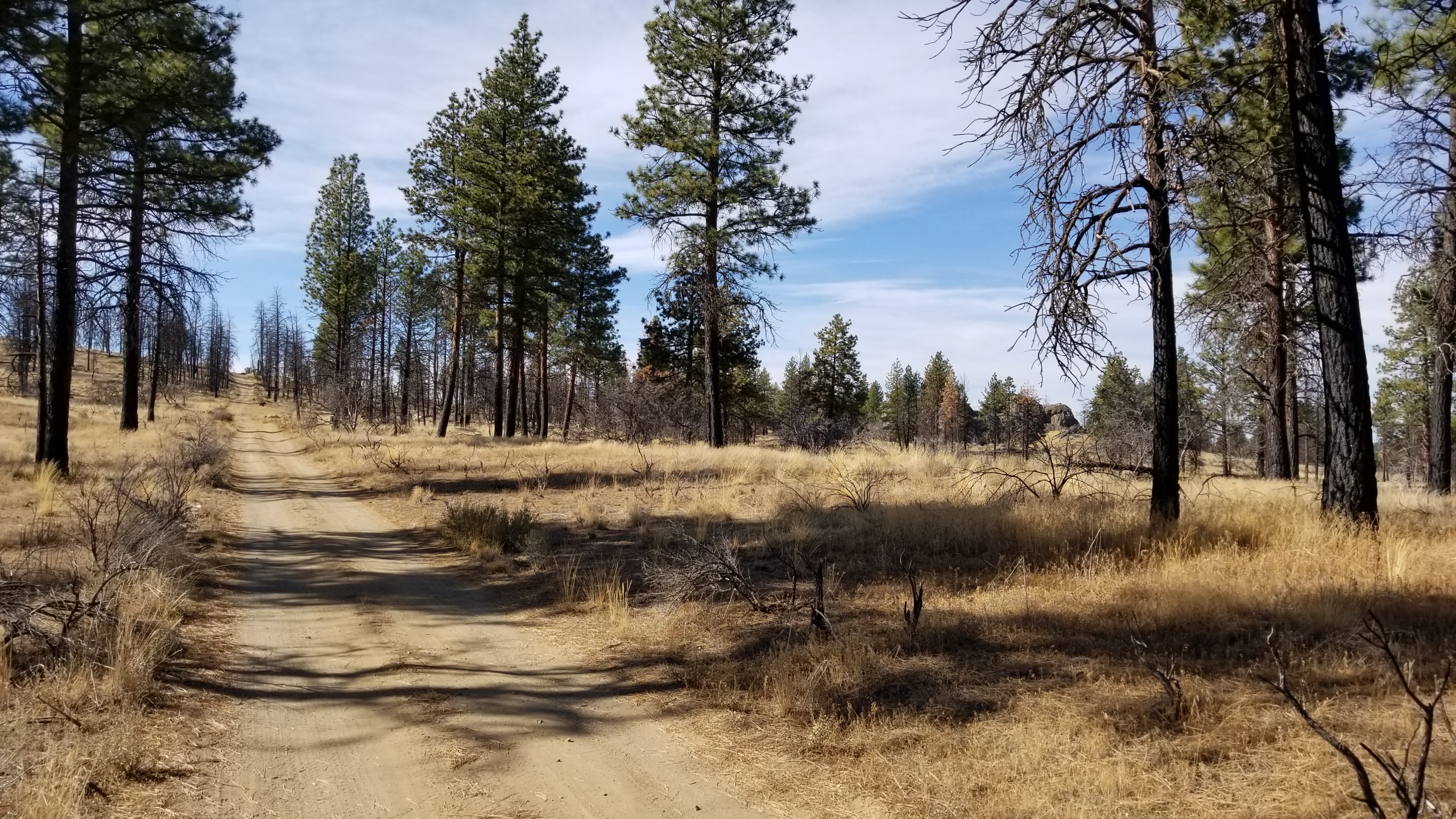
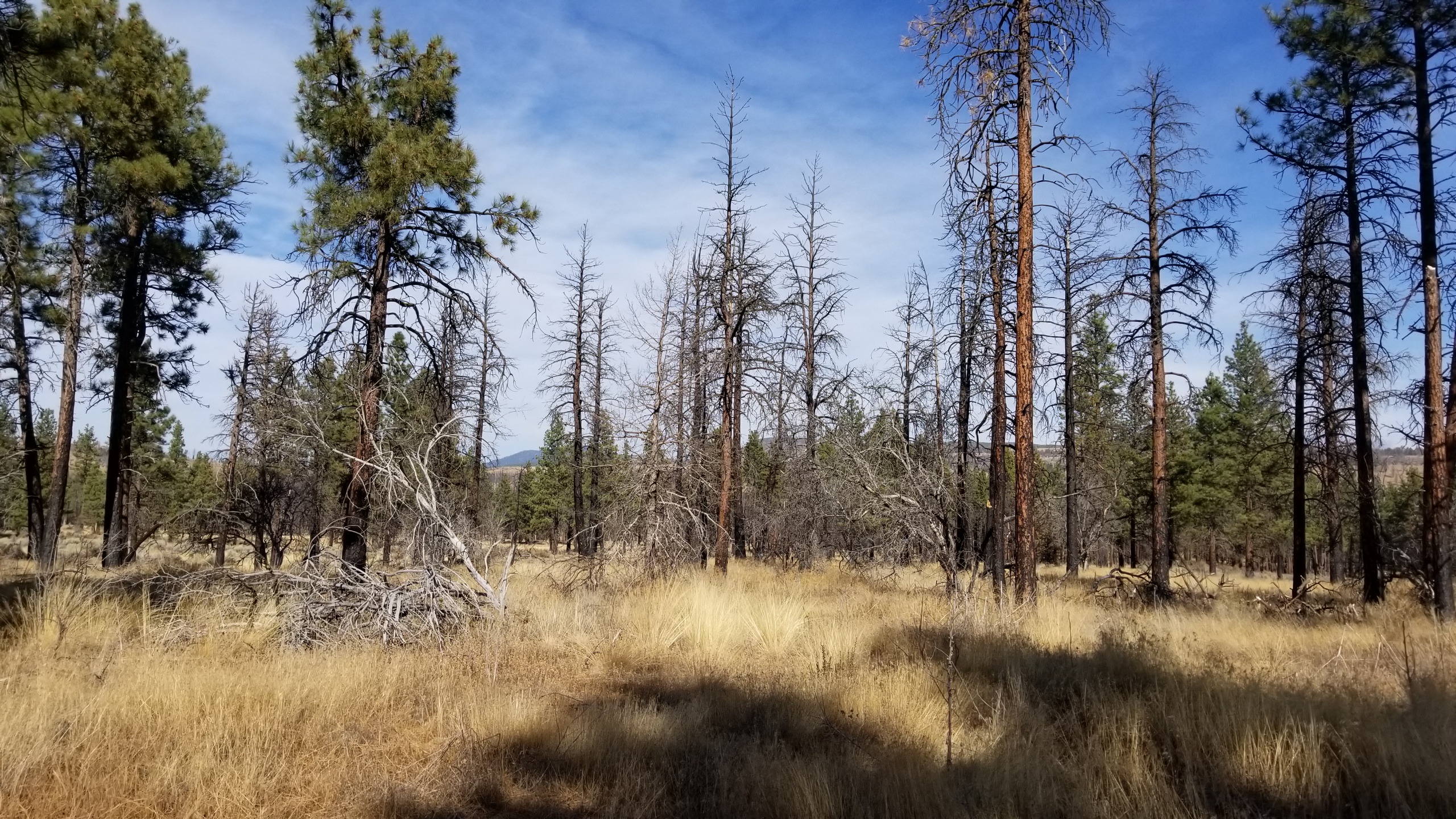
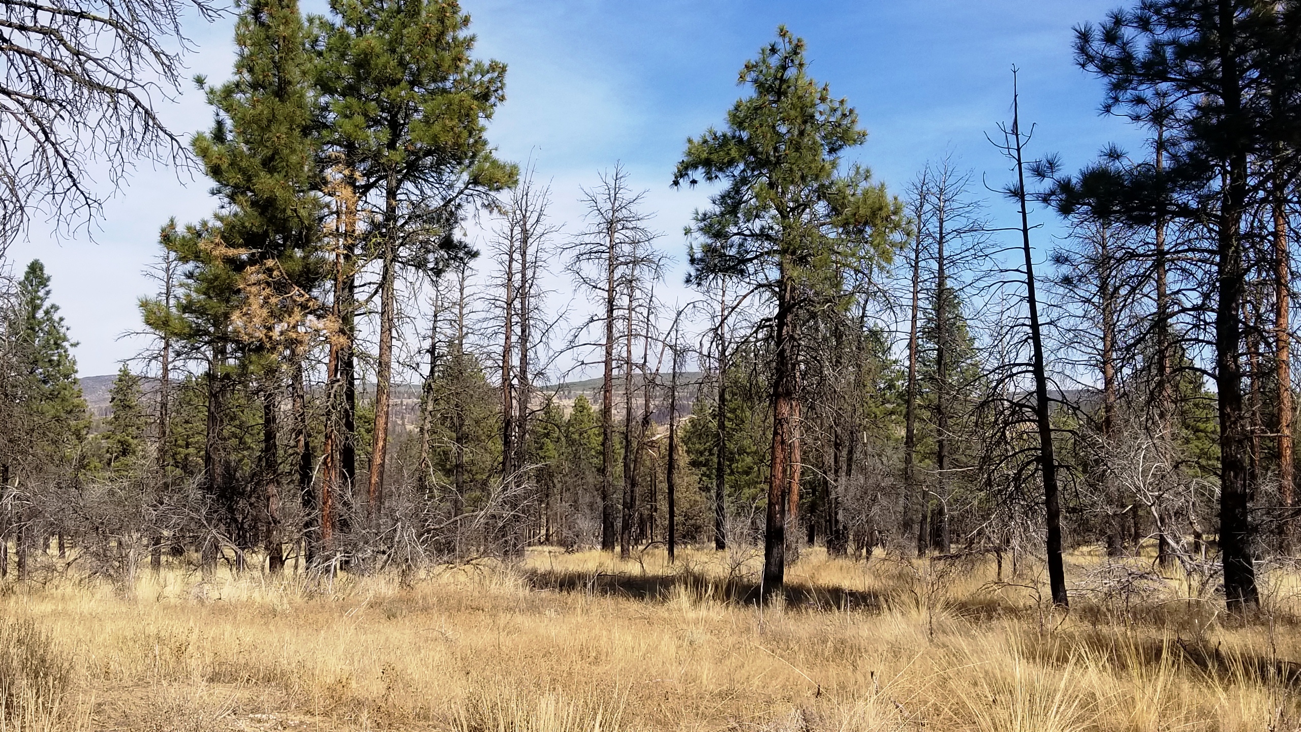
LOT 41 is  available , Lot 42 is sold

some trees were partially burned

- SIZE: 2.31+/- ac
- APN#R266394
- LEGAL DESCRIPTION: First Addition to Klamath Forest Estates Block 31, Lot 41 , according to the official plat thereof on file in the office of the County Clerk of Klamath County, Oregon.
- APN#: R2664015(SOLD)First
Addition to Klamath Forest Estates Block 31, Lot 42 , LEGAL DESCRIPTION:
First Addition to Klamath Forest Estates Block 31, Lots 41 and 42, according
to the official plat thereof on file in the office of the County Clerk
of Klamath County, Oregon. 2.4 ac +
- STATE: Oregon
- COUNTY: Klamath
- GENERAL LOCATION: north side of Mallard . between Mule Deer and Sprague River Drive. about 5 miles N. of Town of Sprague River
- GIS (approx.): SE: 42.516296 , -121.495283; West line: 42.516296 ,
-121.496045
- GENERAL ELEVATION: 4470 ft
- GENERAL INFORMATION: parcel was partially burned in the fire of 2015
/ 2016. Buildable parcels. Mobiles, modulars, site builds allowed. Camp,
RV. Pictures were taken mid October 2017
- TYPE OF TERRAIN: mostly level
- ZONING: residential
- POWER: 1/2 mile -1 mile
- PHONE: no. some cells work
- WATER: no. must install well or holding tank.
- SEWER: No. Only needed when/if you build.
- ROADS: dirt
- PROPERTY TAX: $65 a year
- CLOSING/DOC. FEES: $90.
- TIME LIMIT TO BUILD: none
- ASSOCIATION DUES: none
- TITLE INFORMATION: Free and clear
- AREA INFO: Klamath County Info outside Link
- FINANCING
INFO and PURCHASE
INFO
conversion chart land area. sq. ft. acres, hectacres, miles, etc
questions???
please email
or call us
512-478-9999
