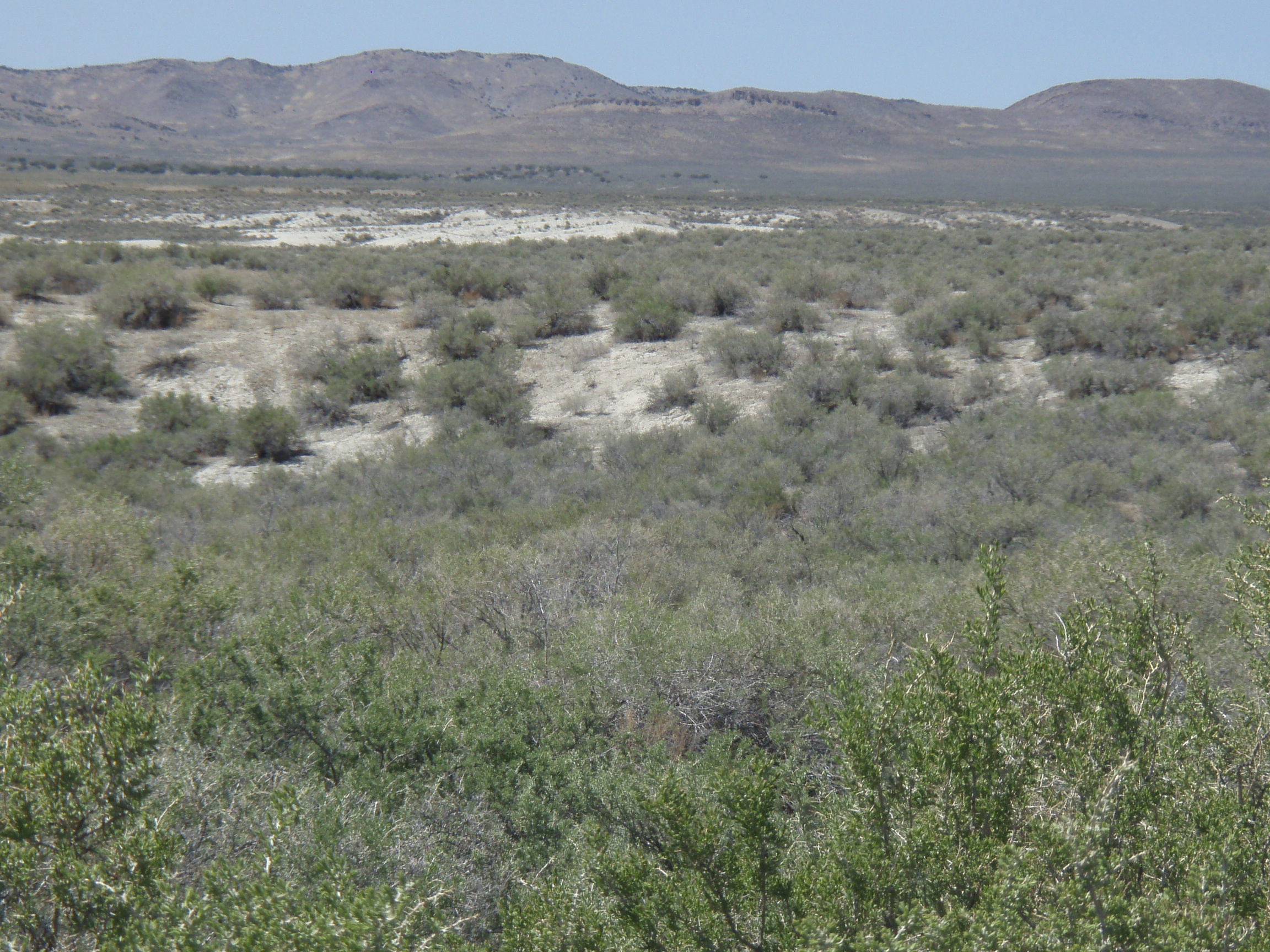
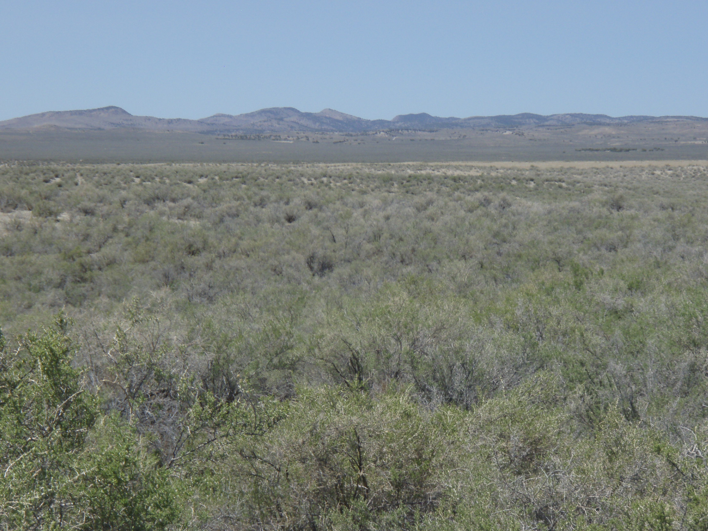
Tacoma valley
- SIZE: 10+/- acres
- APN#: 010-81A-002
- LEGAL DESCRIPTION: T40N, R70E, Sec. 5 NE4SW4SW4
- STATE: Nevada
- COUNTY: Elko
- GENERAL LOCATION: Approx. 8 miles North-Northeast of Montello
- GPS (approx.): NW: 41.3762 , -114.078 ; NE: 41.3762 , -114.0756 ;
SE: 41.3774 , -114.0754 ; SW: 41.3743 , -114.0778
- DRIVING DIRECTIONS: Take Hiway 233 from Montello north for approx. 6.5 miles. You will pass Dake Resevior on the left. Take the 2nd dirt road to the left after the resevior. see map #5
- GENERAL ELEVATION: 4880 ft.
- GENERAL INFORMATION: Wide open spaces 1 mile from hiway. small gully.
1 mile north of Dake Resevior.
- TYPE OF TERRAIN: level
- ZONING: mixed/open
- POWER: no.
- PHONE: no.
- WATER: no. must install well or holding tank.
- SEWER: No. Only needed when/if you build.
- ROADS: dirt
- PROPERTY TAX: $15 a year
- CLOSING/DOC. FEES: $90.
- TIME LIMIT TO BUILD: none
- ASSOCIATION DUES: none
- PLAT MAP: #2
on plat map
- TITLE INFORMATION: Free and clear
FINANCING
INFO and PURCHASE INFO

conversion chart land area. sq. ft. acres, hectacres, miles, etc

questions???
please email
or call us
512-478-9999
