          40 acres
            Southwest of Montello
              trees * Views * hills
SIZE: 40+/- acres
APN#: 010-13I-043
LEGAL DESCRIPTION: T38N, R67E, section 29, NW1/4 SE1/4
STATE: NV
COUNTY: Elko
GENERAL LOCATION: approx 10 miles SW of Montello. 1 mile north of Toano
site
GPS (approx.): NW: 41.1482 , -114.4214 ; SW: 41.1445 , -114.4214 ; SE:
41.1445 , -114.4165 ; NE: 41.1482 , -114.4165
DRIVING DIRECTIONS: From IH 80 take the Oasis turn-off which is Hiway
233 go North 4 & 1/2 miles to a graded dirt road turn off just before
the old Railroad Tracks. Turn Left. Follow the graded dirt road as it
veers left and crosses the RR tracks and a cattle guard. In a little bit
you will be paralleling the railroad ( you will be on the North side of
the tracks. Follow this road approx. 1/2 miles you will pass Cobre junction.
1 mile further there is a dirt road that takes off to the right (north),
turn right. proceed approx 1& 1/2 miles, there is a 2 track road going
left (west). Turn left. Proceed about 2/10 of a mile. Property is on your
left.
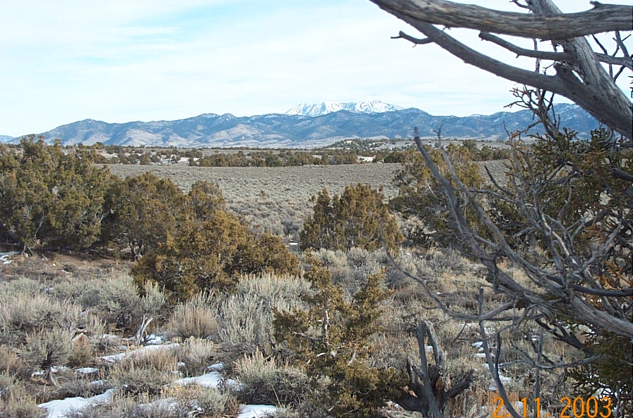
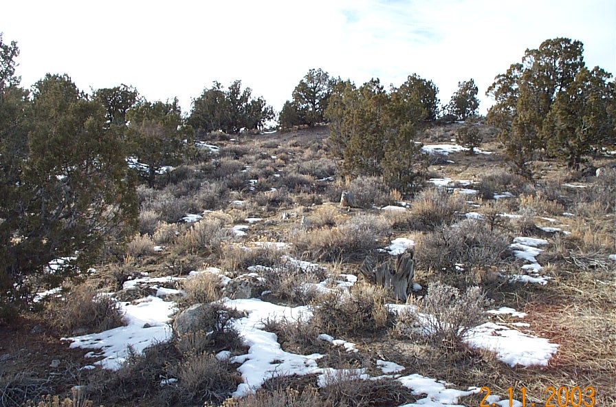
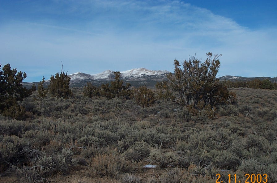
GENERAL INFORMATION: Wide open parcel. slightly sloping. hilly, Views.
Trees.
GENERAL ELEVATION: approx 6100 ft.
TYPE OF TERRAIN: hilly and level
ZONING: SFR/ag
POWER: NO. must use alternate means
PHONE: NO.
WATER: NO.must install well.
SEWER: No must install septic.
ROADS: dirt roads
PROPERTY TAX: approx. $55 a year
CLOSING/DOC. FEES:$90.
TIME LIMIT TO BUILD: none
ASSOCIATION DUES: none
PLAT MAP: PLAT
MAP
TITLE INFORMATION: Free and clear.
TYPE of DOCUMENT: Grant Deed
conversion chart land area. sq. ft. acres, hectacres, miles, etc

questions???
please email
or call us
512-478-9999
