Land * Real Estate
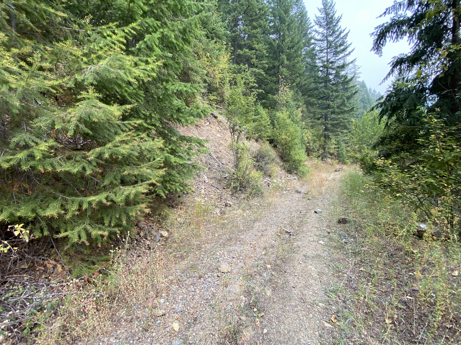
western part Bitterroot Mountain Range
Coeur D'Alene National Forest
smoke is from the 2020 California & Oregon Wildfires

- Following Groups of parcels all situated in Lelande Mining District in section 9, Township 48 North, Range 5 East B.M. :
- ------------ extended Legal descriptions via .pdf file ---- Minerals are severed--------
- SIZE: 12.33+/- acres
- APN#: 48N05E-09-4500
- LEGAL DESCRIPTION: Silver Queen, Anchor, and Bonanza M.S#1279 , portion of Youngstown Lode MS#1243
- -----------------------
- SIZE: 49.4 +/- acres
- APN#: 48N05E-09-4850
- LEGAL DESCRIPTION: Diamond Hitch M.S. #633, Wellington M.S.#1230, Seattle M.S.#1279, along with portions of Silver Queen and Anchor M.S.#1279 that are not included with the above 12.33 +/- ac grouping
- -------------------------------------
- SIZE: 5.25 +/- acres
- APN#: 48N05E-09-4900
- LEGAL DESCRIPTION: Wellington Fraction M.S. #1884, Liebes Fraction M.S.# 1271
- ----------------------------------
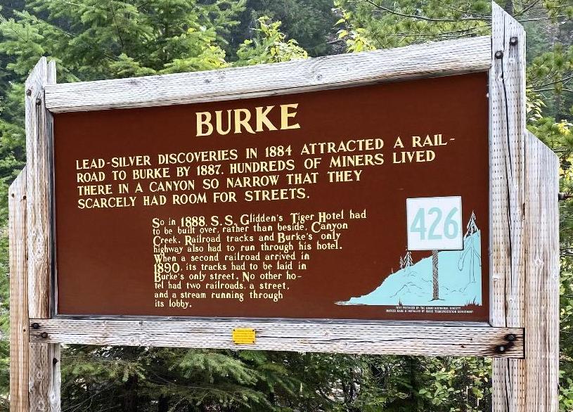
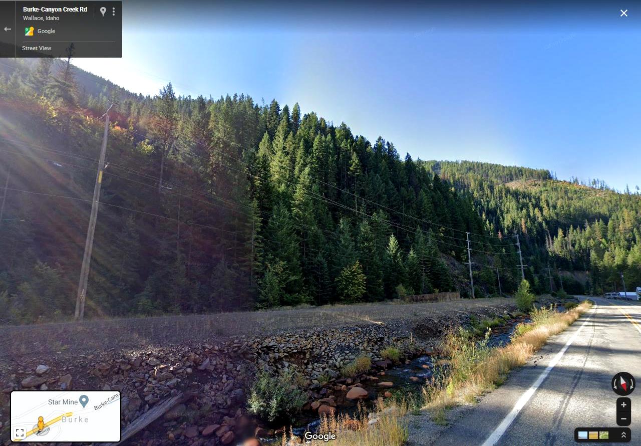
- STATE: Idaho
- COUNTY: Shoshone
- GENERAL LOCATION: North of Hiway 4 in Burke, going up Tiger Peak and
a small portion on southside of Hiway 4 in Burke.
- GPS (approx. ): 47.524848 , -115.821323
- GENERAL ELEVATION: 6400'- 6625'
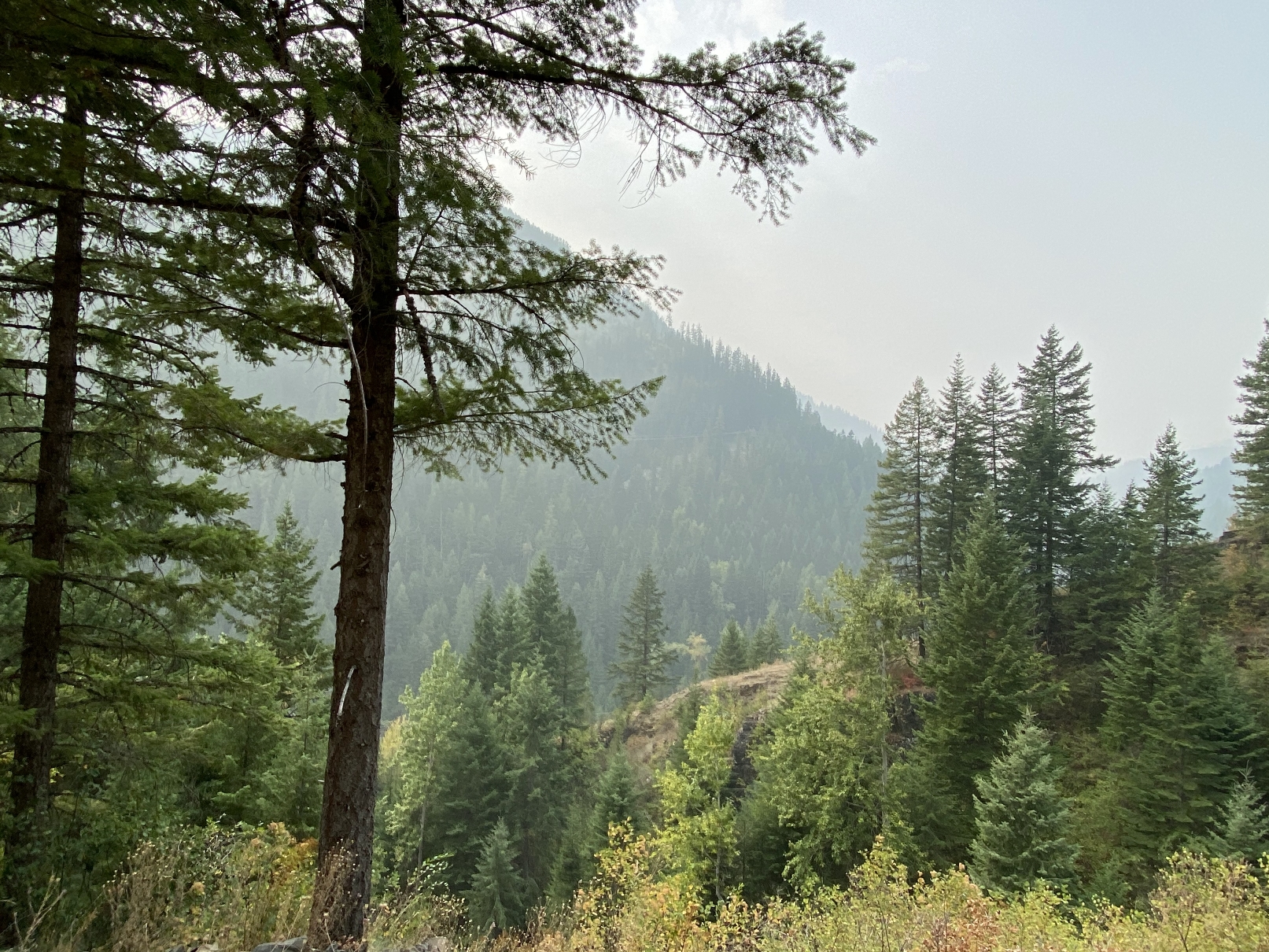
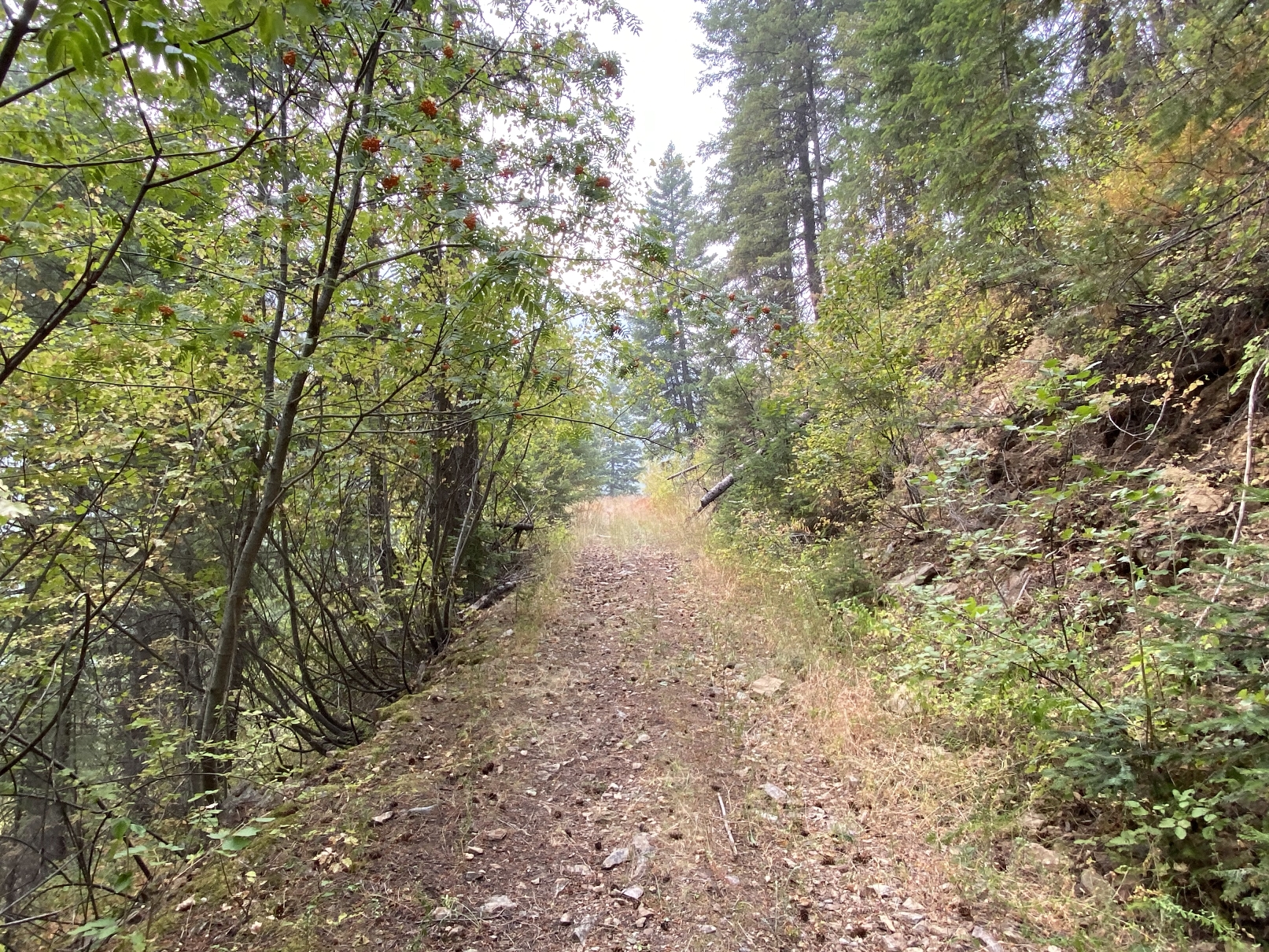
- GENERAL INFORMATION: 9 patented mining claims of Mountain land . Trees.
unimproved roads. Burke is located about 7 miles (11 km) northeast of
Wallace, at an elevation of 3,700 feet (1,130 m) above sea level. It
is accessed from Wallace on Burke-Canyon Creek Road (State Highway 4).
The town is located approximately 100 miles (160 km) south of the Canadian
province of British Columbia, and roughly 5 miles (8.0 km) west of the
bordering U.S. state of Montana.[b]
- TYPE OF TERRAIN: Mountainous - Hilly
- ZONING: check with county for your intended usage.
- POWER: several hundred feet at hiway
- PHONE: NO
- WATER: no. would need to install well or holding tank.
- SEWER: No. Only needed when/if you build.
- ROADS: dirt
- PROPERTY TAX: $ ???? a year
- CLOSING/DOC. FEES: $90.
- TIME LIMIT TO BUILD: none
- ASSOCIATION DUES: none
- TITLE INFORMATION: Free and clear
- Owner financing available.
No Qualifying. No Credit Checks. - MAPS
- More Pics : page 1
-
Gps/lats/longs coordinates are provided as a tool to assist the Buyer.
Use the maps to confirm.
BUYER TO VERIFY listings' GPS coordinates
- FINANCING INFO and PURCHASE INFO
- MAIN LAND PAGE
southside of property. from highway and up hill
 c:
1881.com
c:
1881.com