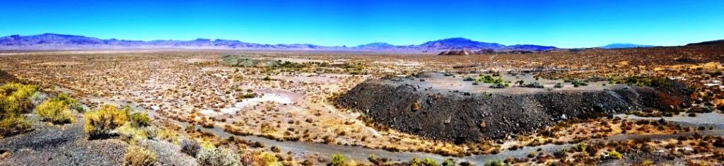
Real Estate *Land
Pershing County Nevada
End of Road privacy
Borders BLM on 2 sides

- SIZE: 40 +/acres
- APN#: 015-330-11
- LEGAL DESCRIPTION: parcel 11 of Parcel Map for Greater Nevada Ranches,
LLC Sec. 31, T26N, R34E, File # 354551
- STATE: Nevada
- COUNTY: Pershing
- GENERAL LOCATION: 1 mile SW of Coal Canyon Road. About 18 miles from
IH 80
- GPS (approx. ): NE @ rd: 40.07355 , -118.20205 ; SE @ rd: 40.07187 , -118.20261 ; NW: 40.07355 , -118.21235 ; SW: 40.07187 , -118.212356
- GENERAL ELEVATION: 41.20'
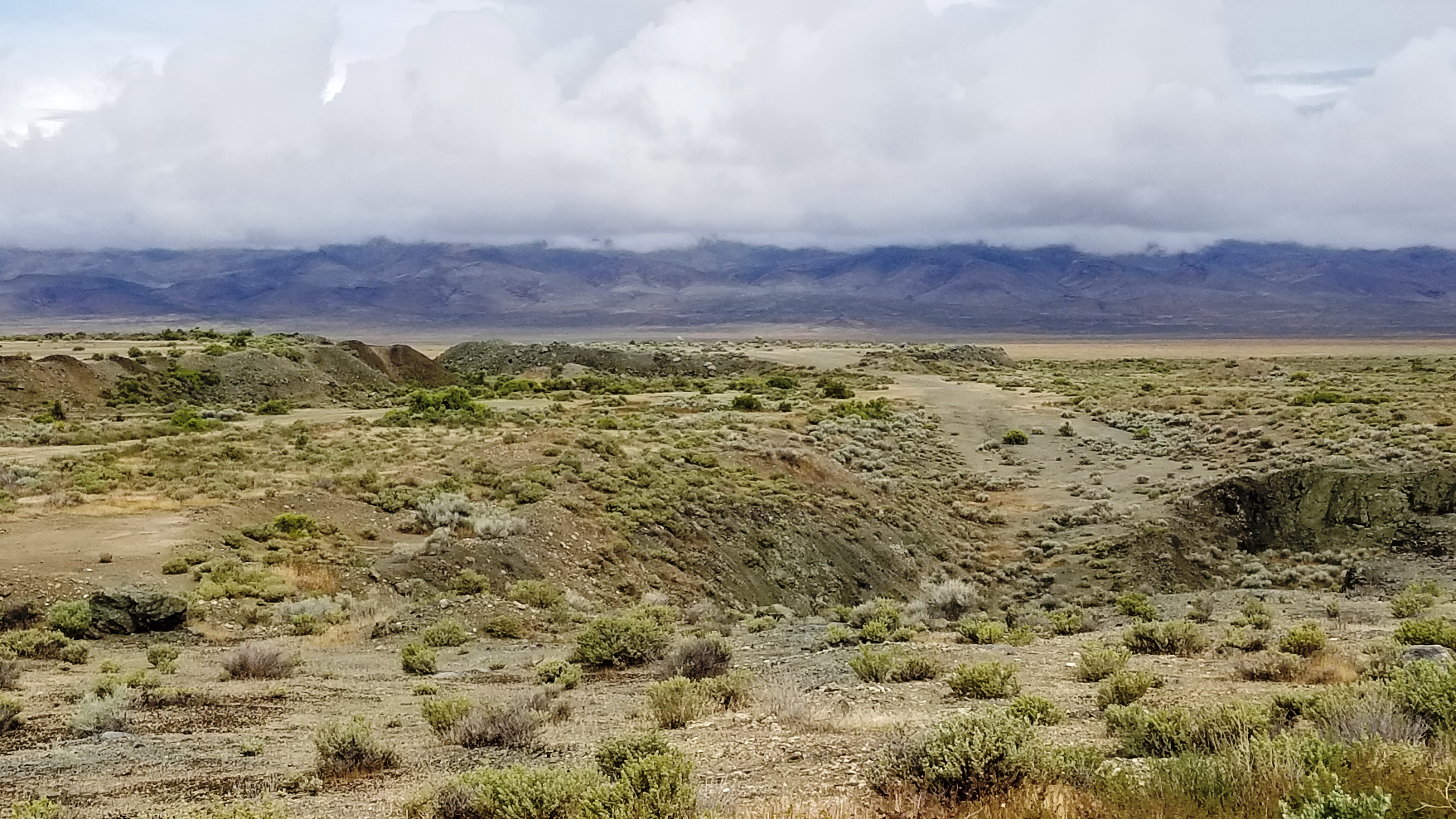
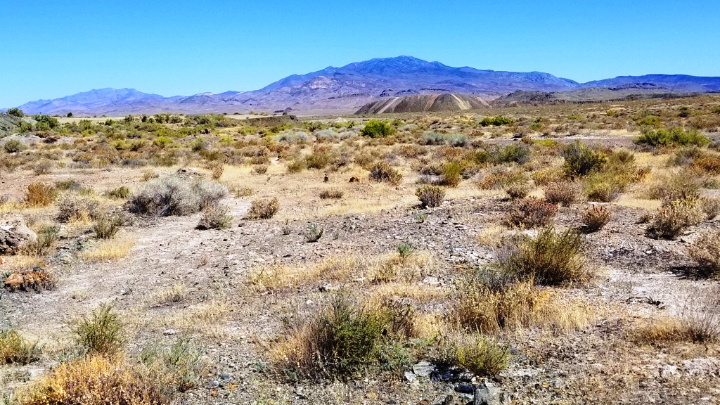
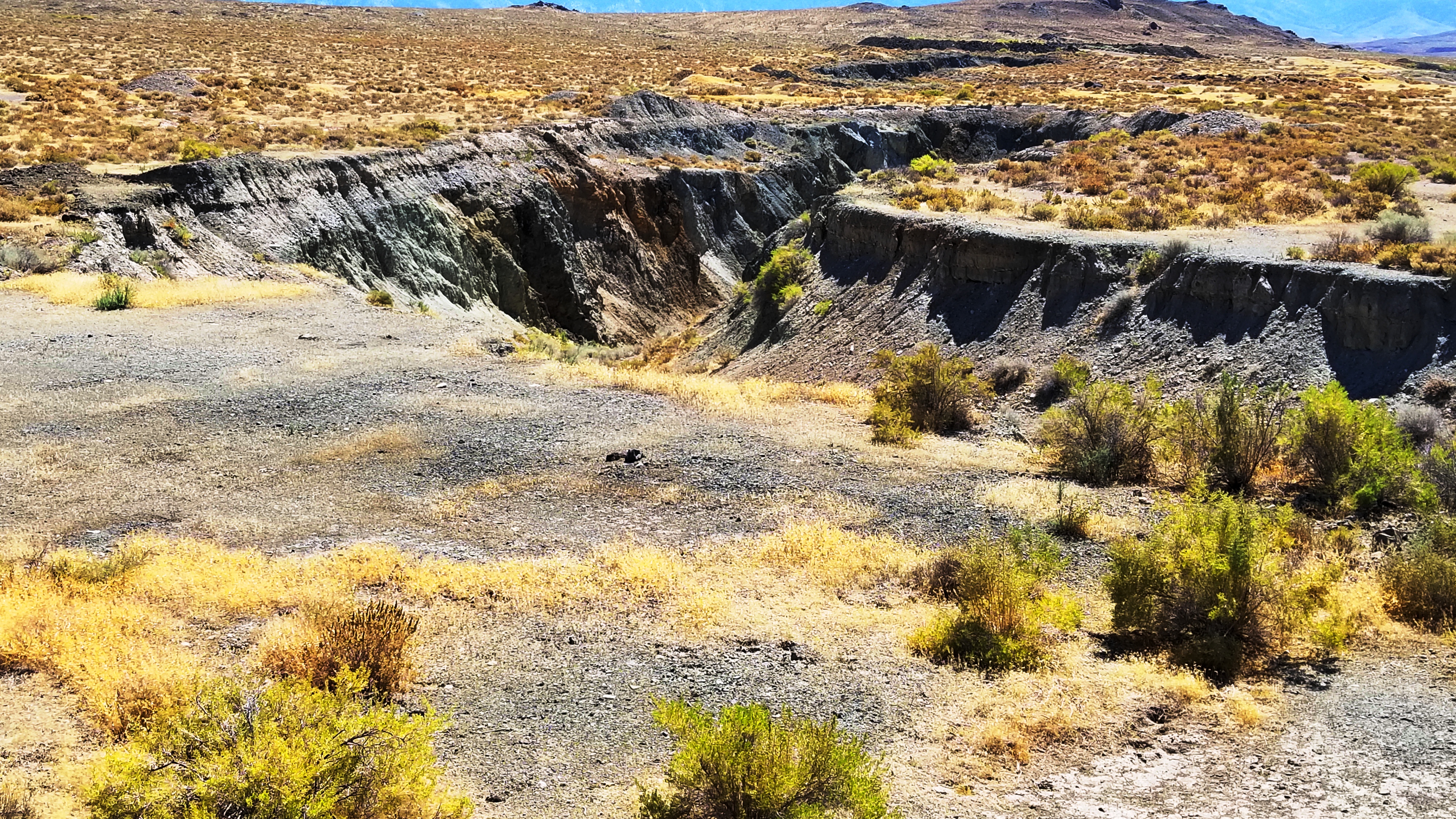
- GENERAL INFORMATION: Borders BLM to South and West. Several small
rock pilings and diggins on property. Huge Rock Pit on BLM to the south
that is no longer used.
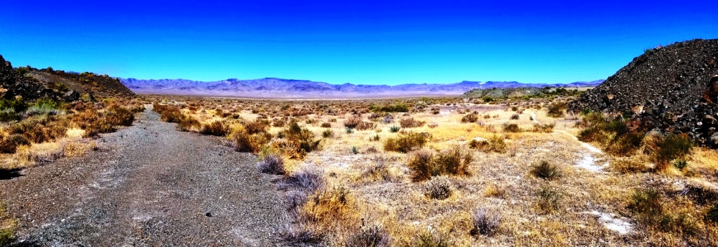
- TYPE OF TERRAIN: level-varied
- ZONING: check with the county for your intended usage
- POWER: No
- PHONE: No
- WATER: no. must install well or holding tank.
- SEWER: No. Only needed when/if you build.
- ROADS: graveled/dirt
- PROPERTY TAX: $89 a year
- CLOSING/DOC. FEES: $90.
- TIME LIMIT TO BUILD: none
- ASSOCIATION DUES: none
- PLAT MAP: Request plat map
be sure to state the address or description of the map you want.
- TITLE INFORMATION: Free and clear
- Outside Info Links:
- AREA INFO: Pershing County info
- Owner financing available.
No Qualifying. No Credit Checks.Gps/lats/longs coordinates are provided as a tool to assist the Buyer.
Use the maps to confirm.
BUYER TO VERIFY listings' GPS coordinates
- FINANCING
INFO and PURCHASE
INFO
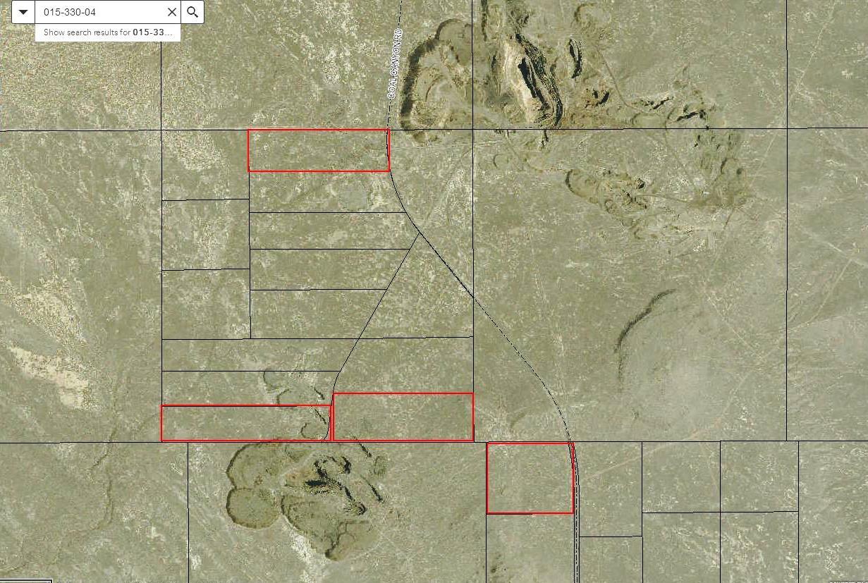
BOTTOM LEFT RED RECTANGLE
conversion chart land area. sq. ft. acres, hectacres, miles, etc
questions???
please email
or call us
512-478-9999