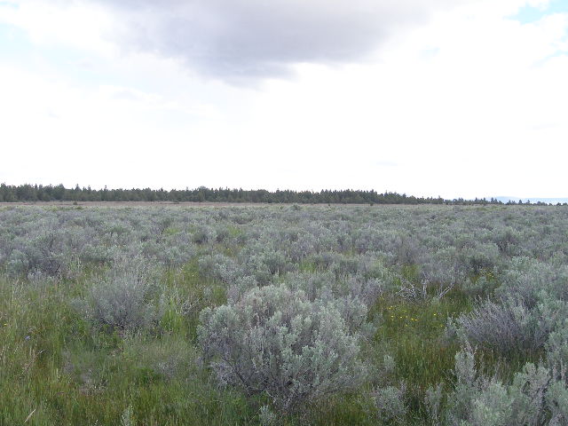
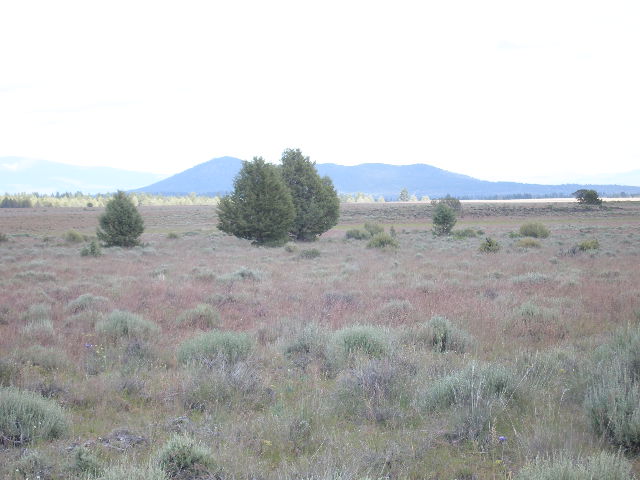
160 acres Tableland Mesa
SOLD
- SIZE: 160+/- acres
- APN#: 3511-00000-4500
- LEGAL DESCRIPTION: SE1/4 of Section 26, Townsip 35 South, Range 11
East
- STATE: Oregon
- COUNTY: Klamath
- GENERAL LOCATION: North of the Sprague River and North of Tableland
road
- DRIVING DIRECTIONS: see maps
- GENERAL ELEVATION: 4800 ft.
- GENERAL INFORMATION: Wide open parcel with wide open views. Neighbors
are far and few in between. Clear Blue Skies. Pitch black nights. About
8 miles to the Sprague River. Camp, RV, Build. No pollution.
- TYPE OF TERRAIN: level
- ZONING: open
- POWER: no
- PHONE: no
- WATER: no
- SEWER: No. Only needed when/if you build.
- ROADS: dirt
- PROPERTY TAX: $285 a year
- CLOSING/DOC. FEES: $89.
- TIME LIMIT TO BUILD: none
- ASSOCIATION DUES: none
- PLAT MAP: Parcel
#4500
- TITLE INFORMATION: Free and clear


questions???
please email
or call us
512-478-9999
